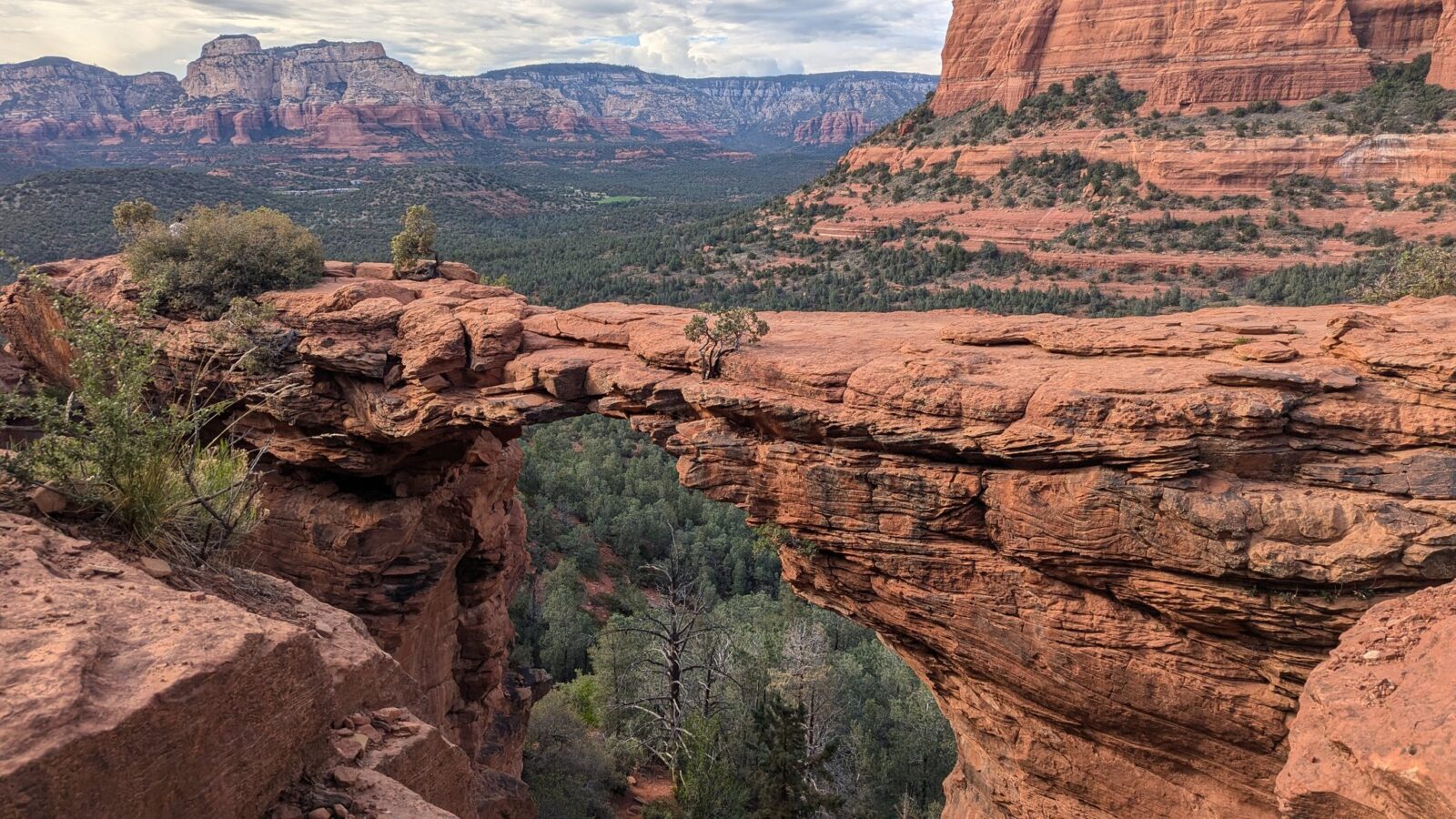
You drive down from Flagstaff through the pines and cliffs of Oak Creek Canyon, and suddenly everything turns red: spires, buttes and arches of red-orange sandstone, rising out of low desert scrub. Sedona is best discovered on foot, and one packed day is enough to hike three of its finest trails. I did it solo on 7 May 2025, in a regular car, no 4×4: Cathedral Rock in the morning, the Chapel of the Holy Cross, Fay Canyon and its hidden arch, then Devil’s Bridge late in the day. The next morning, I hiked the West Fork Trail in Oak Creek Canyon. Here’s that itinerary with my timings, plus everything you need to know to park, pay and pick the right access.
Sedona isn’t a national park, but trailhead parking isn’t free Most trailheads around Sedona require a Red Rock Pass ($5 per car per day in 2026). The annual national parks pass (America the Beautiful) is accepted instead. One important exception: the West Fork parking lot (Call of the Canyon) is run separately, has its own fee, and accepts neither the Red Rock Pass nor the America the Beautiful pass.
At a glance
HOW LONG
One packed day for Cathedral Rock, the chapel, Fay Canyon and Devil’s Bridge; 2 to 3 days to see more and enjoy the town
WHERE TO STAY
Flagstaff, about 1 hour’s drive through Oak Creek Canyon, with cheaper hotels than Sedona
PARKING
Red Rock Pass ($5 a day) or America the Beautiful pass; West Fork is separate ($15 per car)
CAR
A regular car is fine, but for Devil’s Bridge the Forest Service recommends the Chuckwagon Trail or the Mescal trailhead
FREE SHUTTLE
Thursday to Sunday (daily during spring break); the Cathedral Rock parking lot is then closed to cars
CATHEDRAL ROCK
Get there early, the parking lot is small
FINDING YOUR WAY
Trails are well marked, except the one to Fay Canyon Arch; download an offline map
WEST FORK
The trail regularly closes because of wildfires or floods; check it’s open before you go
How much time do you need in Sedona?
One day is enough for the highlights if you keep moving: that’s what I did, since I mainly wanted to hike and see as many viewpoints as possible. But honestly, if you can, plan 2 to 3 days: you’ll have time for other trails, you won’t have to rush back before dark, and you can enjoy the town a little, which I only saw from the road.
My timings on 7 and 8 May 2025:
| Time | Stop |
|---|---|
| 7 May | |
| around 9:30 am | On the road, driving down Oak Creek Canyon from Flagstaff |
| around 9:50 am | Cathedral Rock trailhead |
| around 10:30 am | Top of Cathedral Rock |
| around 11:10 am | Heading back down |
| around 11:40 am | Chapel of the Holy Cross (about ten minutes) |
| around 1:15 pm | End of the Fay Canyon Trail |
| until 2:20 pm | Canyon viewpoint and quiet spots nearby |
| around 2:50 pm | Foot of Fay Canyon Arch |
| around 3 pm | On top of the arch |
| around 3:30 pm | Back on the main trail |
| around 4 pm | Setting off for Devil’s Bridge |
| around 4:45 pm | Arrival at Devil’s Bridge |
| around 5:30 pm | Heading back down |
| 6–6:15 pm | Back at the car |
| 8 May | |
| around 8:30 am | West Fork trailhead parking lot |
| around 10 am | Sign marking the end of the maintained trail |
| around 11:30 am | Back at the parking lot |
| around 12:30 pm | Oak Creek Vista, on the way back up to Flagstaff |
My planning tip: start with Cathedral Rock, whose parking lot fills up fast, and save Devil’s Bridge for late in the day. The light is softer, and on the way down everything is in the shade: bring a layer, it cools off quickly. In between, Fay Canyon is the quietest trail of the day.
How to get from Flagstaff to Sedona
Take Highway 89A, which runs all the way down Oak Creek Canyon: allow about 1 hour. It’s a scenic drive in its own right: mountain switchbacks at first, then cliffs and a pine forest along the creek, and finally, as you reach Sedona, the red-orange rocks and sparser vegetation. The landscape changes dramatically in just a few miles.
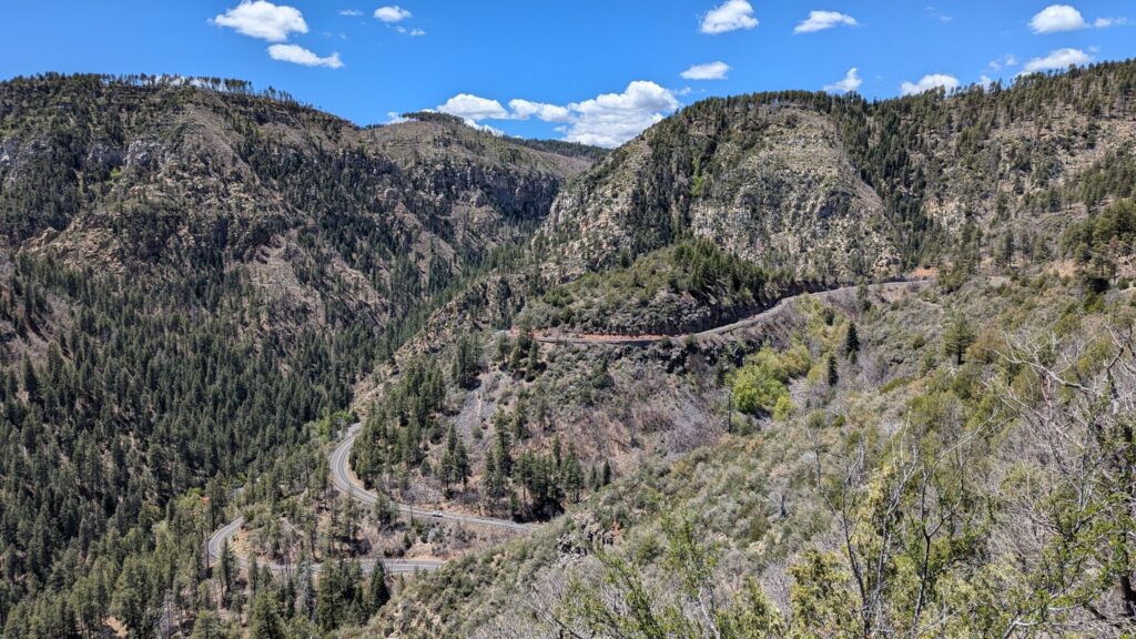
Watch out for closures: 89A runs through an area prone to wildfires and floods. In 2026, it was closed during the June wildfire (the Pocket Fire), reopened on 13 July, and floods hit the canyon again in October. Check road conditions before you set off.
If you’re coming from the Grand Canyon, Flagstaff is about 1.5 hours’ drive from the South Rim: it’s the natural stop between the two. I’d been there the day before to hike the South Kaibab Trail.
Once there, you need a car, unless you rely only on the shuttle (see below). I’d borrowed a friend’s car: if you don’t have one, renting one leaves you free to set your own schedule.
Sedona parking: Red Rock Pass, America the Beautiful pass and the shuttle
The Red Rock Pass
To park at trailheads managed by the Forest Service (including Cathedral Rock, Fay Canyon, Dry Creek Vista and Mescal), you need to display a Red Rock Pass in your car:
- $5 a day, $15 a week, $20 a year, per car;
- sold at the parking lot kiosks (credit card only), online on the Red Rock Pass page on recreation.gov (you enter your license plate, nothing to print), at the Forest Service visitor center and at local vendors in town.
The America the Beautiful pass (the annual national parks pass) is accepted instead: just display it. In May 2025, I went to look at the parking lot kiosk to see how it worked, then simply put my pass on the dashboard. If you’re also visiting the Grand Canyon, the pass is worth considering: I explain the fees, including the surcharge for visitors who aren’t US residents, in my South Kaibab Trail guide.
South Kaibab Trail: how much is the entrance fee?
What these passes don’t cover: the West Fork trailhead parking lot, Crescent Moon Ranch, Grasshopper Point, and state parks such as Slide Rock or Red Rock State Park, which have their own fees. It’s the opposite of Valley of Fire, near Las Vegas, where the pass isn’t accepted at all.
Valley of Fire One-Day Itinerary
A pass doesn’t guarantee a parking space. And parking outside designated areas, along the road for example, can get you a fine or towed.
Official Red Rock Ranger District guide (Forest Service, PDF)
Official links not opening? The Forest Service (fs.usda.gov) and recreation.gov websites sometimes block connections from outside the United States. The link isn’t broken: from abroad, you may need a VPN set to the US to open them. For trail closures, Visit Sedona, which works without a VPN, also posts the latest information.
The free shuttle (Sedona Shuttle)
A free shuttle serves the Cathedral Rock, Soldier Pass and Dry Creek Vista / Mescal trailheads (the access to Devil’s Bridge), from three free park-and-ride lots. It runs Thursday to Sunday, 7 am to 5:30 pm, and daily during spring break (late February to late April).
I didn’t take it: 7 May 2025 was a Wednesday, with no shuttle. Two things to know if you visit when it’s running:
- the Cathedral Rock parking lot is closed to the public during shuttle hours (so is Soldier Pass): to drive there yourself, come Monday to Wednesday, outside spring break;
- the last shuttles back leave around 5:30 pm: Devil’s Bridge late in the day, as I did it, isn’t possible by shuttle.
There are also paid shuttles (Sedona Shuttle Connect, on demand in some parts of town): I haven’t tried them.
Cathedral Rock: how high can you go?
The first trail of the day, and the most physical: about 0.7 miles (1.1 km) up, with 600 to 670 feet (180 to 200 m) of elevation gain according to the Forest Service, which describes it as “more of a rock climb than a hike”. It took me about 35 minutes to get to the top.
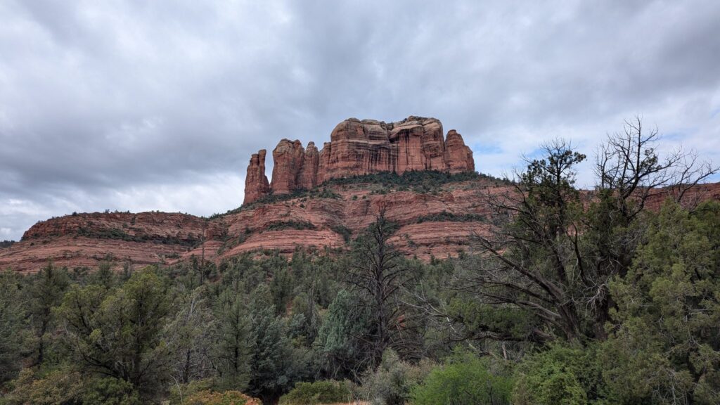
Parking: the trailhead parking lot (on Back O’ Beyond Road, off Highway 179) isn’t very big. I found a space because I got there fairly early; by the time I came back down, it was full. Note: Thursday to Sunday, and every day during spring break, it’s closed to cars during shuttle hours (see above).
The climb: you scramble up bare rock, with a few steeper sections where you use your hands (notches cut into the rock help with footholds). No gear needed, but many people stop before that, at the first viewpoint, which makes the middle of the trail crowded. Those who keep going are rewarded: at the top, there was hardly anyone. Wear good hiking shoes, nothing with a smooth sole.
At the very top: the official trail ends on a wide saddle between two sandstone spires, where a sign marks the end of the trail. The view opens up on both sides over the red valley. You can move a little to the right and to the left; on the left, I was able to climb a bit higher to see the other side, but beyond the sign, the paths are no longer maintained. You don’t need to go any further to enjoy the view.
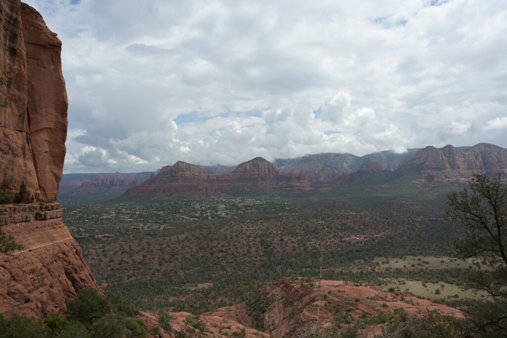
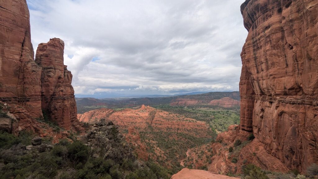
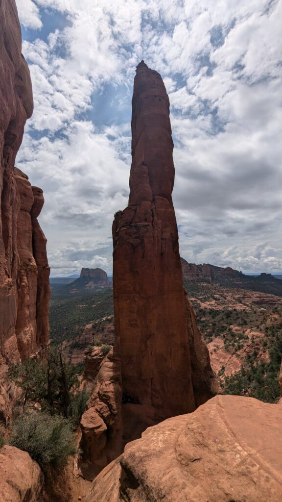
At the top, about 35 minutes after setting off
Good to know: the trail is entirely in the sun, with no shade. The Forest Service warns that it gets very hot in summer: start early in the morning.
Cathedral Rock Trail (Forest Service)
Chapel of the Holy Cross: a quick stop
Between Cathedral Rock and Fay Canyon, the Chapel of the Holy Cross is worth a few minutes: a modern chapel built into the red rocks, with a huge cross forming its whole facade. I parked at the bottom; the parking lot was full and it was quite busy. I stayed about ten minutes: the view over Sedona from the foot of the chapel, then a quick look inside, facing the big glass window.
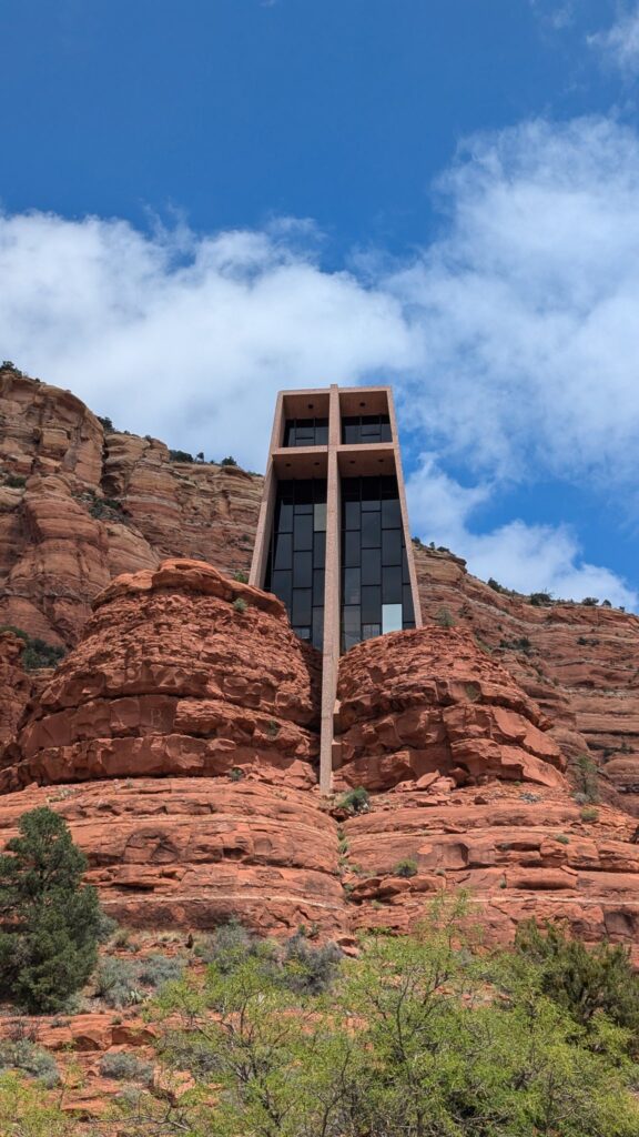
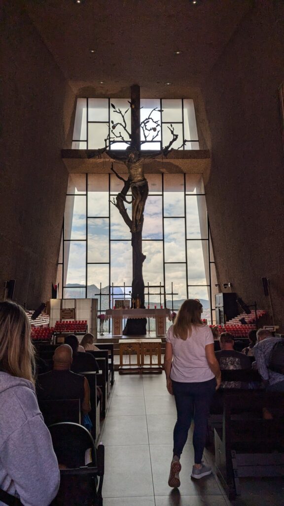
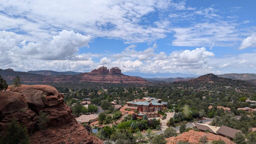
Practical info: the chapel is open 9 am to 5 pm (last entry at 4:45 pm). It’s an active place of worship, with services on Wednesday and Friday afternoons: keep your voice down inside.
Fay Canyon and Fay Canyon Arch: the trail Google Maps doesn’t show
This is the trail that stayed with me the most, precisely because it’s quiet: very few people on the way, a handful at the end, and nobody at the arch.
The Fay Canyon Trail
The numbers: about 1.1 miles (1.8 km) one way, almost flat (under 150 feet / 50 m of elevation gain), rated easy by the Forest Service. Parking: the lot is on Boynton Pass Road, across the road from the trailhead. Several trails start in this area, and it was quite busy: cars were parked along the road towards Fay Canyon. Use the parking lot (see above: you can be fined for parking along the road).
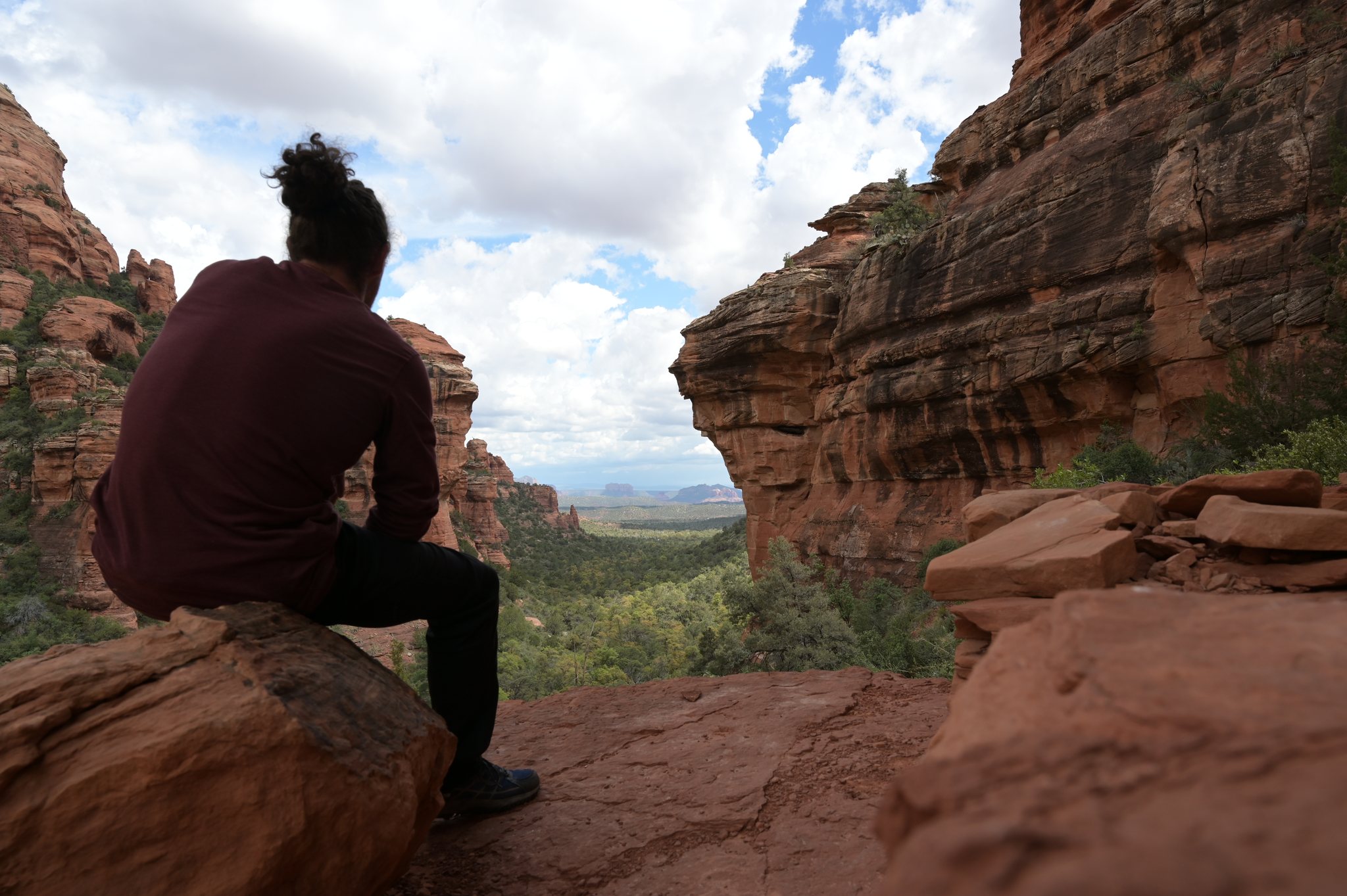
The trail follows a small canyon between red cliffs and ends in a dead end at the foot of a cliff. Don’t turn back straight away: if you scramble a little way up the rocks at the end, you get a great view over the whole canyon.
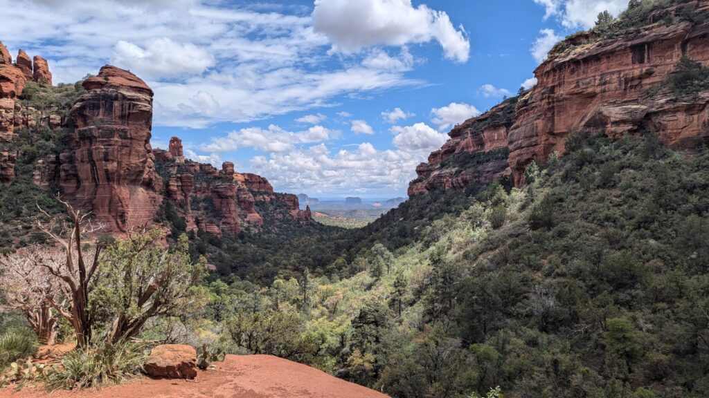
I spent a good hour there, exploring the surroundings. By climbing a bit and rounding a corner, I found myself alone in beautiful spots. But let’s be clear: these “hidden corners” are off trail, on faint paths that often lead nowhere. I ended up climbing right through the cacti, and left with spines in my pants. This isn’t a recommendation: the Forest Service asks hikers to stay on official trails, for the plants’ sake and for yours.
Fay Canyon Arch
On the way back, an easy-to-miss turnoff leads to Fay Canyon Arch, about 0.6 miles (1 km) from the trailhead, on the right as you go up the canyon. It doesn’t appear on Google Maps, but it’s on apps based on OpenStreetMap, such as Maps.me (which I used) or Mapy. The start is a bit hidden: download an offline map before you go.
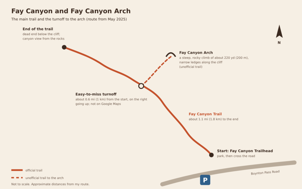
This trail to the arch isn’t an official trail, and it’s nothing like the rest of the walk: a steep, rocky climb of about 220 yards (200 m), fairly physical. The path can split, but the branches seem to end up in the same place. I reached the foot of the arch around 2:50 pm, and there was nobody there.
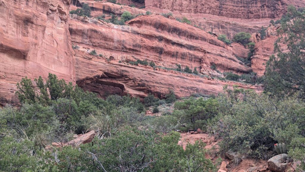
Climbing onto the arch: I did it, and this is the part to take seriously. Some sections are narrow, right on the cliff edge: you’d hardly guess it’s a trail. On the arch itself, a deep crack separates it from the cliff wall. I’m telling you because I did it, not to push you to do the same: if you’re afraid of heights, if the rock is wet or if you’re not sure of your footing, the view from the foot of the arch is already worth the detour.
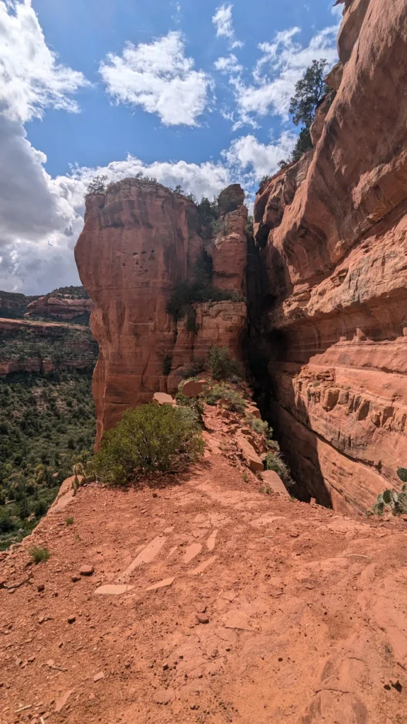
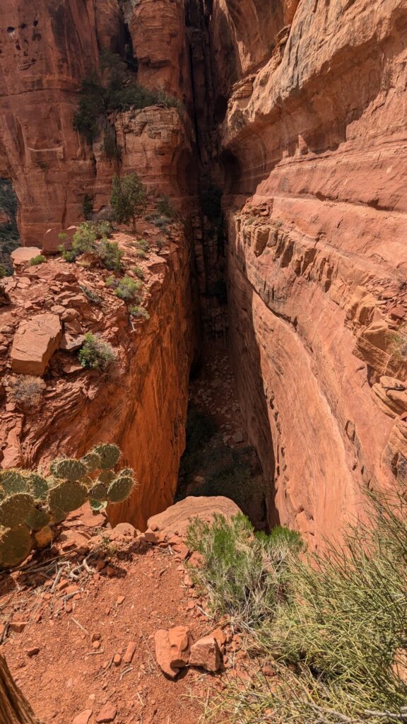
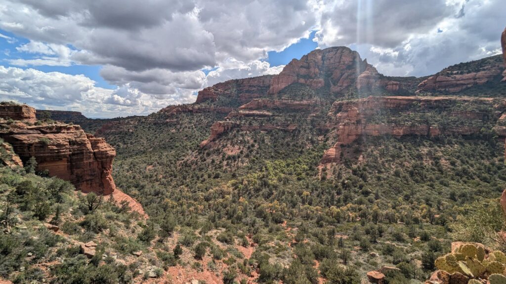
On my way back down, I passed hikers looking for the arch and unable to find it: that’s how easy the turnoff is to miss.
Fay Canyon Trail (Forest Service)
Devil’s Bridge without a 4×4: which way to go?
Devil’s Bridge is Sedona’s most famous trail, and the photo everyone wants: a sandstone arch about 50 feet (15 m) high that you can walk across, with the valley below. I got there late in the day, around 4:45 pm.
Three ways in
The Devil’s Bridge Trail itself is short: about 0.8 miles (1.3 km) one way and a little over 350 feet (110 m) of elevation gain. The real question is getting to the trailhead, at the end of a dirt road (Dry Creek Road, FR 152) meant for high-clearance vehicles: big rocks right from the start, ATVs, 4x4s and buggies. In a regular car, you park at the start of the dirt road, at the Dry Creek Vista parking lot, where the paved part of Dry Creek Road ends. From there, the Forest Service suggests two ways in on foot:
- the Chuckwagon Trail, from Dry Creek Vista: about 2.9 miles (4.7 km) to Devil’s Bridge (5.8 miles / 9.3 km round trip), on a real trail, away from the dirt road;
- the Mescal trailhead, on Long Canyon Road: about 4 miles (6.4 km) round trip via the Mescal-Chuckwagon connector.
What I did: like many people, I walked up the dirt road itself, about 1.3 miles (2 km) and around 30 minutes, then the trail, about 30 minutes more. It’s not ideal: the Forest Service doesn’t recommend the dirt road for hikers. I passed 2 or 3 4x4s, so it’s definitely no highway, but you’re walking on rock, with a bit of dust whenever a vehicle goes by. I set off around 4 pm and didn’t want to get back too late after dark, so I skipped the longer Chuckwagon Trail. With more time, that’s the one I’d take.
Devil’s Bridge Trail (Forest Service)
The Dry Creek Vista parking lot wasn’t full around 4 pm on a Wednesday. On shuttle days, it fills up faster: the Forest Service guide even says it’s closed while the shuttle runs, although the shuttle website doesn’t mention it. To be safe, come Monday to Wednesday, or take the shuttle.
By ATV or Jeep: at the turnoff to the trail, only ATVs and 4x4s were parked, not a single regular car. Many visitors rent an ATV or book a Jeep tour to go from trail to trail. I haven’t tried it, but it’s an option if you want to save time on the dirt road.
On the bridge
This is the Instagram shot of Sedona, and it shows. The day I was there, a Wednesday in May in the late afternoon, there was no two-hour line like you sometimes read about, but there were people waiting their turn to walk out onto the arch. On a weekend or during spring break, the wait can be much longer.
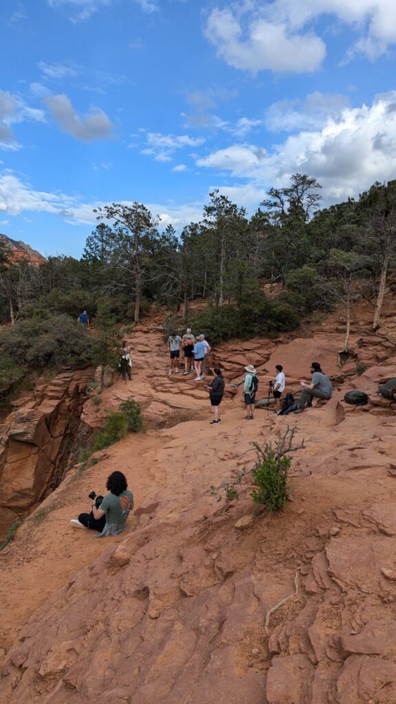
The arch is wide enough to walk across without difficulty, but the drop is big on both sides: stay in the middle and don’t start showing off. My method: I offered to take photos of couples together, then, after hesitating a little, I asked someone to take mine. It’s quicker for everyone, and you leave with a great memory.
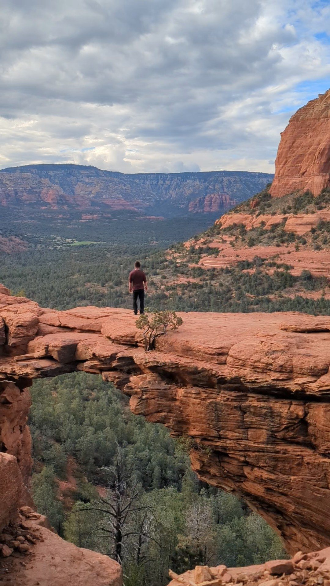
The way back: I headed down around 5:30 pm and was back at the car around 6–6:15 pm. With the sun low, the whole trail is in the shade and it cools off fast: keep a layer in your bag, and a headlamp if you start late.
The next morning: the West Fork Trail (West Fork Oak Creek Trail)
Before you go: check the trail is open West Fork can close because of wildfires or floods. After the Pocket Fire in June 2026, the trail and its parking lot were closed for several months (rockfall, flood risk). Check the Forest Service alerts right before you go; if their website won’t open from abroad, which happens with some official US websites, Visit Sedona also posts current closures. I hiked it in May 2025, before the fire: the state of the trail, the creek crossings and the log bridges may have changed.
Strictly speaking, West Fork isn’t in Sedona: it’s further up Oak Creek Canyon, on the road to Flagstaff. The mood is the opposite of the day before: a shady trail along a creek, between sandstone walls that close in, with lush green forest. I hiked it in the morning, on my way back to Las Vegas.
Three names not to mix up:
- Oak Creek Canyon is the big canyon that Highway 89A runs through between Sedona and Flagstaff, with its swimming spots, campgrounds and Slide Rock;
- West Fork is a side canyon, a branch of Oak Creek, and the trail that follows it: the West Fork Oak Creek Trail (“West Fork Trail No. 108” for the Forest Service);
- Call of the Canyon is the official name of the picnic area and paid parking lot where the trail starts. On Google Maps, search for “West Fork Oak Creek Trailhead” instead.
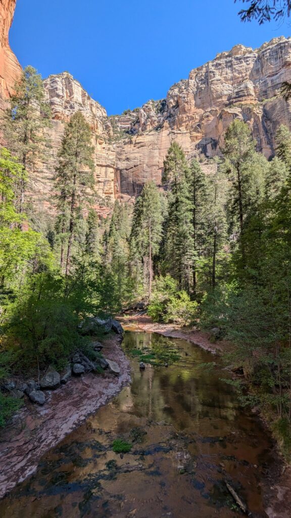
Where to park for the West Fork Trail
You park in the Call of the Canyon picnic area, on Highway 89A, about 9.5 miles (15 km) north of Sedona. The entrance isn’t very well signposted from the road. From the parking lot, a short path of about a quarter of a mile (400 m) leads to the start of the West Fork Trail. The site is run by a concessionaire, with its own fees:
- $15 per car per day (up to 5 people), $20 a week, $4 per person on foot or by bike;
- neither the Red Rock Pass nor the America the Beautiful pass is accepted; only the annual Coconino Pass ($50) is, sold at the parking lot entrance and also valid at Crescent Moon Ranch, Grasshopper Point, Beaver Creek and Lower Lake Mary;
- cash, check or card;
- open from 7 am to dusk from April to September, and from 8 am to dusk from October to March.
The parking lot fills up fast in summer, and traffic can back up on 89A. Many people park in the small pull-outs along the road to avoid paying, but they fill up quickly and can leave you a long way from the trailhead. I got there around 8:30 am.
Call of the Canyon parking (Forest Service)
The trail
The maintained trail is about 3 miles (4.8 km) one way, almost flat, rated easy; the Forest Service allows 2 to 3 hours round trip. I walked fairly fast on the way out, which also means meeting fewer people in the morning, and took my time on the way back for photos: about 1.5 hours to the end, and back at the parking lot around 11:30 am.
You cross the creek many times. I stayed dry, but some crossings are on makeshift log “bridges”, slippery and very narrow: wear shoes with good grip, and bring a bit of balance.
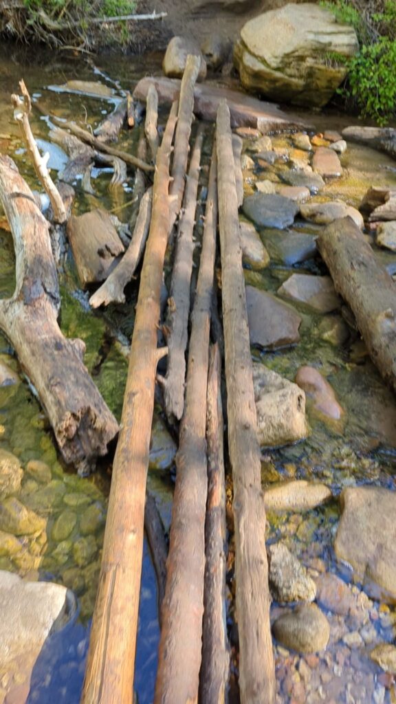
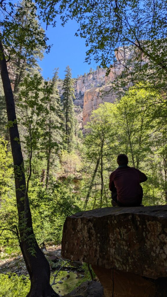
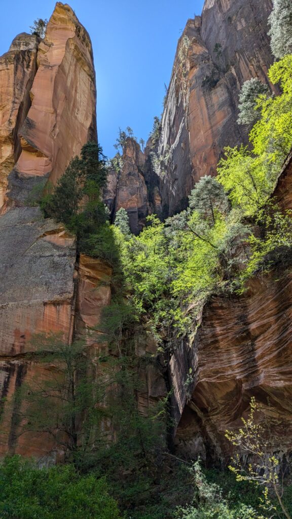
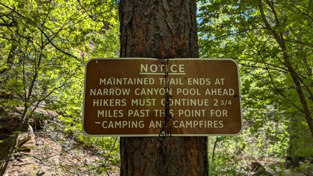
The end of the maintained trail: a sign says the maintained trail ends at a narrow canyon pool ahead, and that hikers must continue another 2.75 miles before they’re allowed to camp. Beyond that, you carry on with your feet in the water, in the creek bed: it’s as far as you can go and stay dry. Honestly, the end is nothing special: a sort of dead end, with no real viewpoint. It’s the walk there that’s worth it.
The morning was cooler than Sedona the day before, but pleasant. The trail can also close when wildfire danger is high, usually in late June.
West Fork Trail (Forest Service)
Coconino National Forest alerts and closures
Oak Creek Vista, at the top of the canyon
On your way back up to Flagstaff, stop at Oak Creek Vista, right at the top of the 89A switchbacks (on the right as you head north, on the left if you’re coming down from Flagstaff: then it’s your first stop of the day). The viewpoint looks straight down over Oak Creek Canyon and the winding road. I was there around 12:30 pm, on my way back.
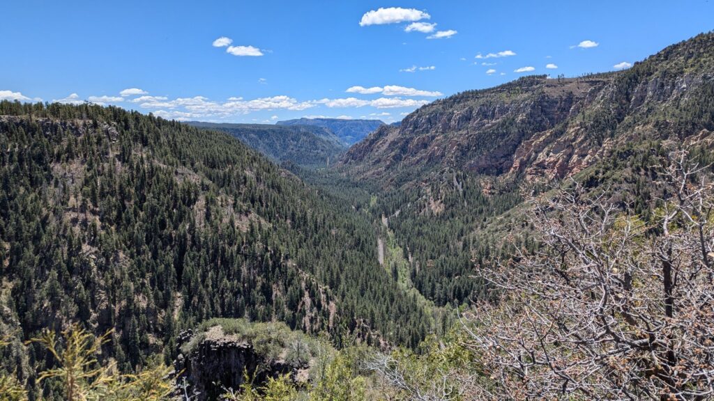
On site, there are stalls under umbrellas: it’s a Native American artisan market (jewelry, pottery, crafts), run by the NACA organization in partnership with the national forest. The viewpoint is free.
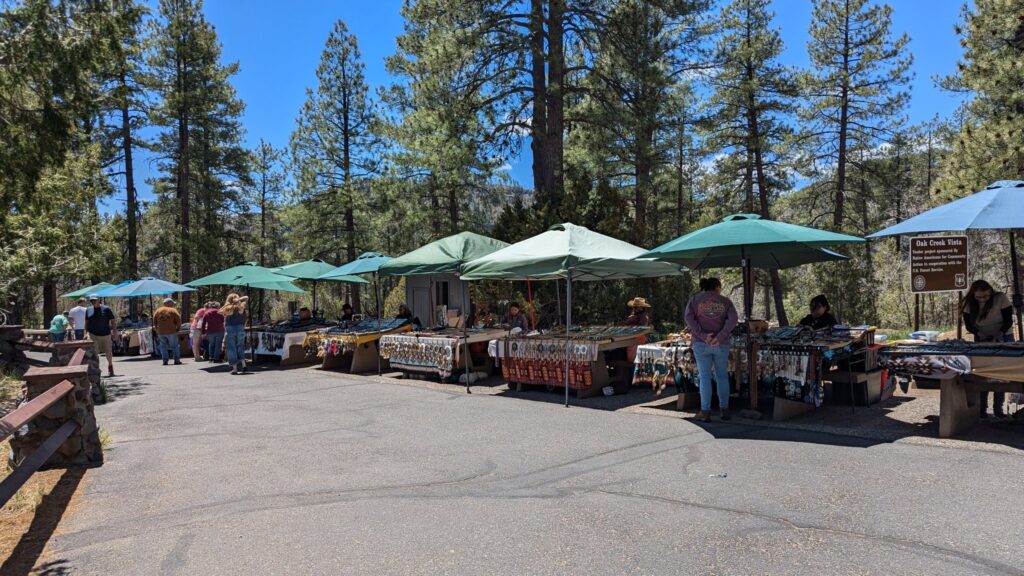
Oak Creek Overlook Vista Native American Artisan Market
Best time to visit Sedona
Early May was really pleasant: mostly sunny, a few clouds, not too hot. I wore a long-sleeved T-shirt most of the time, partly to protect myself from the sun. It was a little cool at the end of the day at Devil’s Bridge and in the morning at West Fork.
Spring is also the busiest season for Cathedral Rock and Devil’s Bridge. In summer, the heat makes the exposed trails hard going (Cathedral Rock, Fay Canyon and Devil’s Bridge have almost no shade): start early, and save West Fork, shaded and by the water, for the hot hours. Summer is also wildfire season (especially June) and monsoon season, with flash floods in Oak Creek Canyon into early fall: check closures right before you go. Finally, US spring break (late February to late April) brings big crowds to the best-known trails.
Wherever you go: plenty of water, something to eat (I bought supplies at small stores along the way), a hat and sunscreen.
Where to stay: Flagstaff rather than Sedona
I stayed in Flagstaff, about 1 hour from Sedona: hotels there are cheaper than in Sedona, and it’s on the way to the Grand Canyon. I booked a room at the West Inn NAU (Downtown Flagstaff): $129(€115) for two nights, 6 to 8 May 2025, booked online. Simple, and handy for doing the Grand Canyon, Sedona and Oak Creek Canyon from the same base.
If you’d rather wake up surrounded by red rocks and enjoy the town in the evening, staying in Sedona itself is the most comfortable option, for a bigger budget. I haven’t tried it.
Sedona the town: crystal shops and vortexes
I didn’t visit the town: with only one day, I chose the trails, and only stopped at small stores to buy drinks and food. From the road, you see the galleries, the crystal and stone shops, and everything to do with “energies” and the vortexes Sedona is famous for. It’s not really my thing, but if it speaks to you, it’s a good reason to plan a second day and enjoy the town without watching the clock.
In short
Sedona in one day means Cathedral Rock early in the morning, a quick stop at the Chapel of the Holy Cross, the quiet of Fay Canyon and its arch, then Devil’s Bridge late in the day, via the Chuckwagon Trail if you’re in a regular car. The next morning, West Fork offers the shade and water of Oak Creek Canyon, if the trail is open. Come Monday to Wednesday if you plan to park at the trailheads, display your America the Beautiful pass if you have one, and budget $15 for West Fork.
To round off your trip:
- South Kaibab Trail to Skeleton Point: A Grand Canyon South Rim Day Hike (and the Viewpoints to Add)
- Las Vegas, Grand Canyon and Sedona Road Trip: A 4-Day Itinerary (Where to Stay, Route 66 and Hoover Dam)
- Valley of Fire One-Day Itinerary from Las Vegas: Fire Wave, White Domes, Rainbow Vista and Mouse’s Tank Road