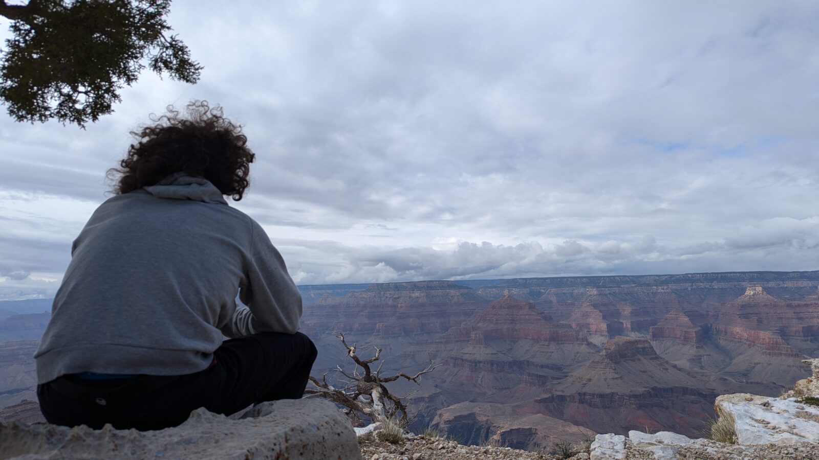
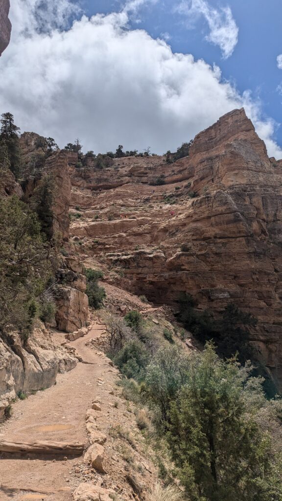
At 9 am, the top of the switchbacks is still in the clouds. An hour and a half later, you’re walking along a ridge in the middle of the Grand Canyon, and the crowd at the trailhead has thinned out. The South Kaibab Trail to Skeleton Point is the hike that lets you truly get down into the canyon in a single morning and still keep the afternoon for the viewpoints: the Grand Canyon in one day, without having to choose. I hiked it solo in May 2025, driving from Las Vegas, where I was living at the time. Here’s how to get to the trailhead, my actual timings, where to turn around depending on your fitness, and how to round off the day.
Grand Canyon National Park, not Grand Canyon West
This guide is about the South Rim of Grand Canyon National Park, run by the National Park Service, about 4.5 hours’ drive from Las Vegas. Many day tours from Las Vegas actually go to Grand Canyon West, about 2.5 hours away: it’s a completely different site, outside the national park, on the Hualapai Reservation. People go there for the view, especially from the Skywalk, the glass walkway over the edge, not to hike into the canyon: the South Kaibab Trail isn’t there. Since the site isn’t run by the National Park Service, admission is paid separately and national park passes don’t apply. If you’re booking a tour from Las Vegas, double-check where it goes.
At a glance
DISTANCE AND ELEVATION
6 miles (9.6 km) round trip and 2,040 ft (620 m) of elevation change to Skeleton Point (National Park Service figures)
TIME
4 to 6 hours according to the park. It took me just under 4 hours, breaks included
ACCESS
No parking at the trailhead. Park at the Visitor Center, then take the free shuttle (Orange Route), or walk or bike there
WATER
No water on the trail, carry everything you need
WHEN TO GO
In the morning, to climb back up before the heat
WHERE TO TURN AROUND
Ooh Aah Point (short), Cedar Ridge (halfway) or Skeleton Point, the furthest the park recommends for a day hike
Where does the South Kaibab Trail start, and how do you get there?
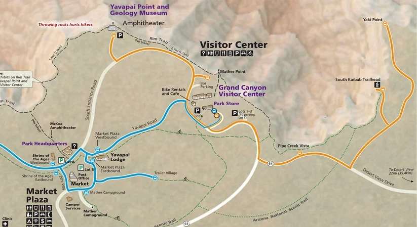
The trailhead is on Yaki Point Road, east of the Grand Canyon Visitor Center. Important: there’s no public parking at the trailhead. Private vehicles aren’t allowed there: you get there on foot, by bike or by shuttle.
Park at the Grand Canyon Visitor Center
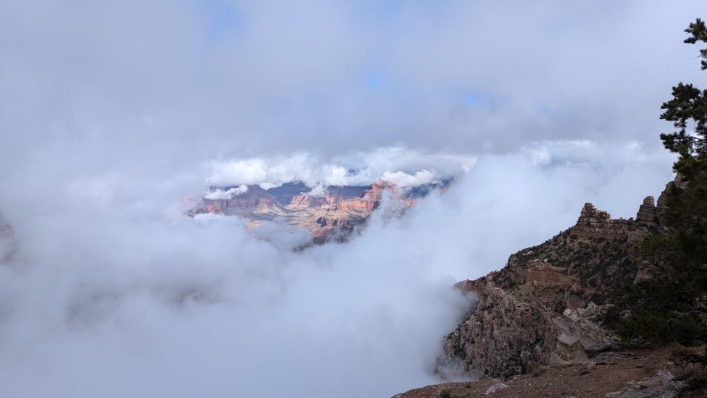
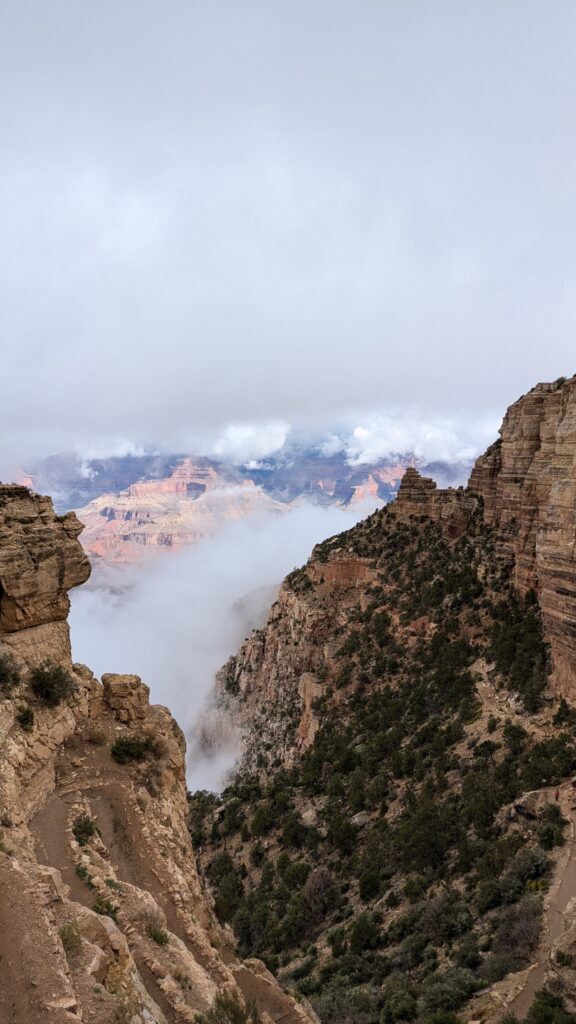
That’s what I did: I parked in one of the Visitor Center lots (Lots 1 to 3), then took the shuttle to the trailhead. I reached the parking lot around 8:30 am and was at the top of the switchbacks a little after 9 am. If these lots are full, the park points you to other lots (A to D) in the Village area, served by the Blue Route shuttle.
Take the Kaibab Rim shuttle (Orange Route)
The shuttle is free (it’s included in your entrance fee). The Orange Route leaves from the Visitor Center shuttle bus terminal and reaches the South Kaibab Trailhead in about 9 minutes: make sure you board an eastbound bus. In fall 2026, the first bus leaves at 6 am, every 20 minutes until 9 am, then every 15 minutes. Schedules change with the season, so check them before you go.
To start even earlier, or from the Village, the Hikers’ Express leaves Bright Angel Lodge (at 6, 7 and 8 am in fall 2026) and stops at the Backcountry Information Center (Lot D), the Visitor Center shuttle terminal, then the trailhead. I didn’t take it.
On foot or by bike
You can also reach the trailhead on foot or by bike from the Visitor Center, on paved trails: about 2.2 miles (3.5 km). It’s doable, but those miles come on top of the hike, and you may have to walk them again at the end, on tired legs.
Distance, elevation and time to Skeleton Point
Official National Park Service figures, round trip from the trailhead:
| Turn around at… | Round-trip distance | Elevation change | Estimated time |
|---|---|---|---|
| Ooh Aah Point | 1.8 mi (2.9 km) | 790 ft (230 m) | 1 to 2 h |
| Cedar Ridge | 3 mi (4.8 km) | 1,120 ft (340 m) | 2 to 4 h |
| Skeleton Point | 6 mi (9.6 km) | 2,040 ft (620 m) | 4 to 6 h |
Official South Kaibab Trail page
To give you a concrete benchmark, here are my timings on 6 May 2025:
| Stage | Time |
|---|---|
| Top of the switchbacks (start) | 9:10 am |
| Ooh Aah Point | 9:45 am |
| Skeleton Point (snack break) | 10:45 am |
| Cedar Ridge, on the way back up | 11:55 am |
| Ooh Aah Point, on the way back up | 12:30 pm |
| Back at the top of the switchbacks | 1:00 pm |
That’s about 1 hour 40 minutes down and just over 2 hours back up, breaks included. I have a physical job (I’m a circus performer): if you don’t hike much, plan for the upper end of the park’s range.
Don’t underestimate this hike. Going down is effortless; the climb back up is what counts. Every foot you descend, you’ll have to climb back up, in the middle of the day and in the sun. Always allow more time for the way back than for the way down.
Ooh Aah Point, Cedar Ridge or Skeleton Point: where to turn around?
The trail has three natural stopping points, each further down and each quieter. The further you go, the fewer people you meet.
The switchbacks and Ooh Aah Point
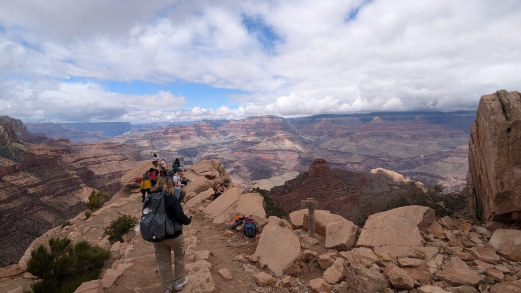
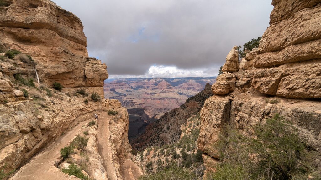
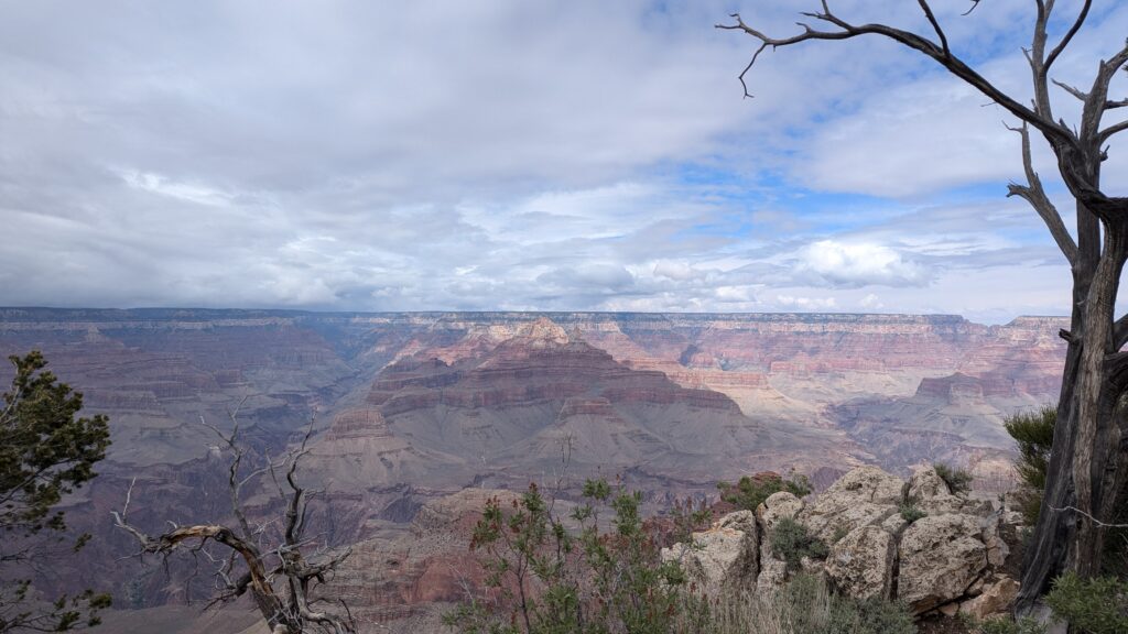
The trail starts with a zigzag descent along the cliff. Ooh Aah Point comes almost right after the end of these switchbacks, 0.9 mile (1.4 km) from the trailhead. It’s the first real viewpoint on the trail, and it lives up to its name: the view over the canyon is truly stunning and wide open.
My tip: if you’re going further, don’t necessarily stop on the way down. I walked past it in the morning to save my break for later, and enjoyed it on the way back up, when a break is welcome anyway.
Who is it for? If you’re short on time, or simply want a taste of the trail before moving on to the viewpoints.
Cedar Ridge, the halfway point
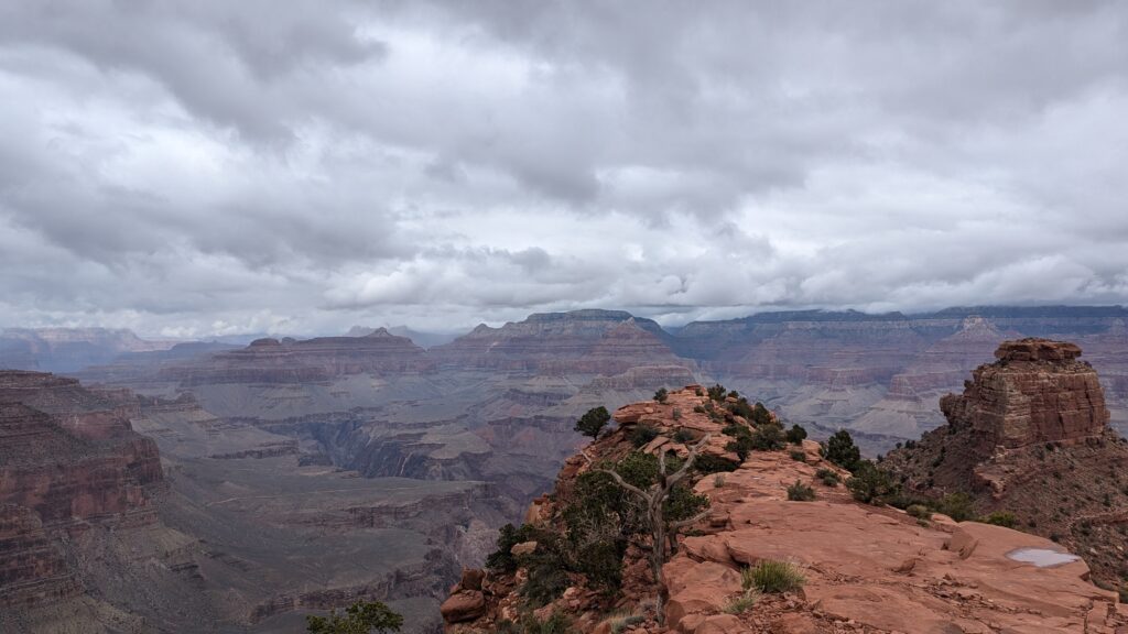
Cedar Ridge is 1.5 miles (2.4 km) from the trailhead, almost exactly halfway to Skeleton Point. This is where many hikers stop, and it makes sense: you’re already well into the canyon without committing to the second half.
There’s a main open area where everyone settles down. Walk around a little and you’ll find quieter spots for your break. I took a quick break here on the way down and a longer one on the way back up.
Who is it for? If you want a relaxed half-day hike, or you’re not sure about your pace on the climb back.
Skeleton Point, the turnaround a ranger recommended
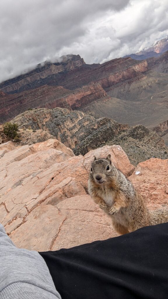
At Cedar Ridge, I asked a ranger whether it was worth going all the way down to the bottom of the canyon. When I told him I wanted to drive Desert View Drive in the afternoon, his advice was clear: stop at Skeleton Point, so I’d have time to climb back up and enjoy the rest of the day. I followed his advice, and it’s also the official recommendation: for the park, Skeleton Point, 3 miles (4.8 km) below the rim, is the maximum recommended distance for a day hike.
That’s the turnaround I recommend if you want a real hike and your viewpoints: you’ve gone well beyond the crowds at the top, and you’re back up in time for the afternoon.
Bring snacks, but keep them well sealed: during my break, a squirrel literally climbed onto me to try its luck. However cute they are, don’t feed them.
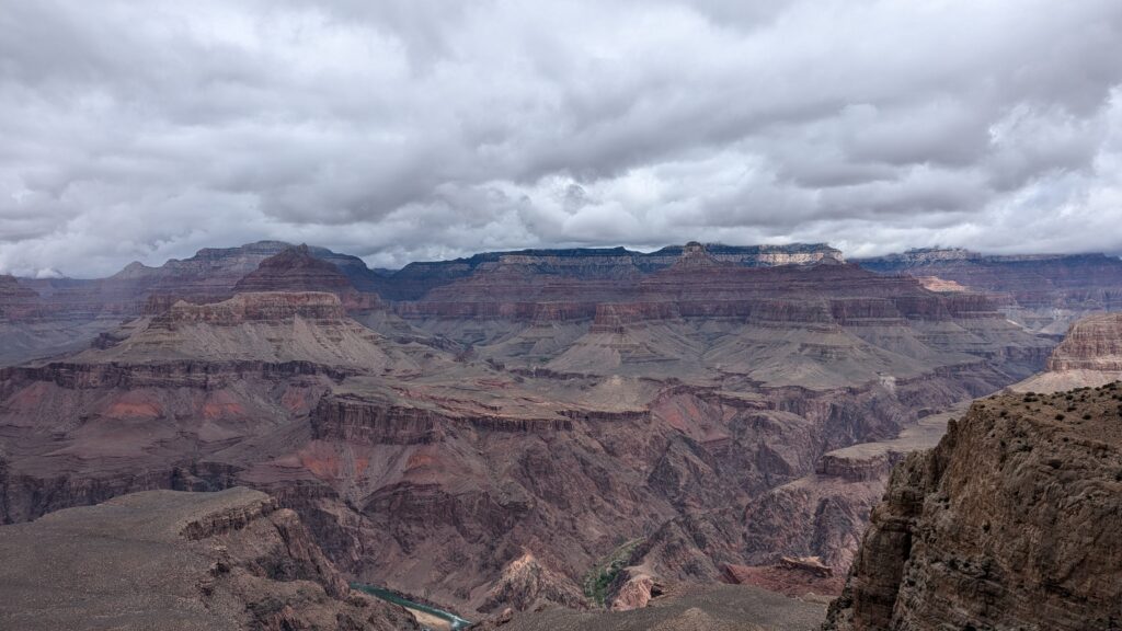
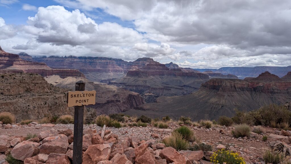
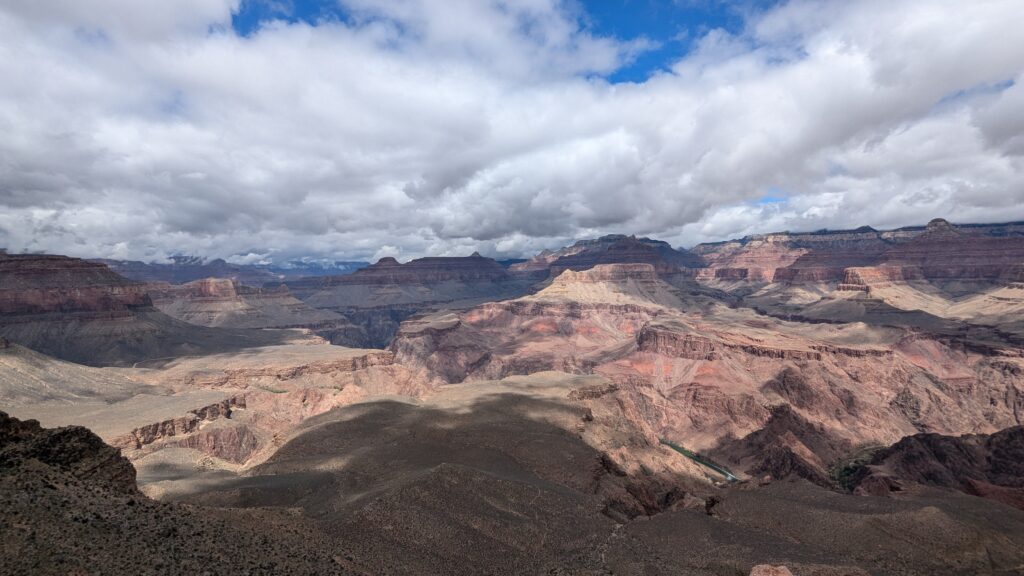
Skeleton Point
And beyond Skeleton Point?
The trail continues down to the Colorado River, but the park advises against going down and back in a day: the distance is long, temperature swings are extreme, and there’s about 5,000 ft (1,500 m) of elevation change each way. If you dream of going further, a multi-day rim-to-rim crossing from the North Rim to the South Rim is a different project that takes more planning. The North Rim was closed for the whole 2025 season after the Dragon Bravo Fire, and only some areas reopened in 2026: check its status before planning a crossing.
Why South Kaibab rather than Bright Angel?
Bright Angel is the other major trail on the South Rim. I haven’t hiked it, so I can’t give you a first-hand comparison.
My choice was simple. In May 2025, the lower part of the Bright Angel Trail was closed for the replacement of the park’s water pipeline (the Transcanyon Waterline project), beyond Havasupai Gardens, until 15 May 2025. A day hike to Havasupai Gardens was still possible, but South Kaibab was open and let me go as far down as my time allowed. The Bright Angel Trail has reopened since.
If you’re torn between the two, here are the practical differences according to the park: Bright Angel, which starts just west of Bright Angel Lodge, has some shade and seasonal water stations (subject to pipeline breaks), whereas South Kaibab has neither regular shade nor water. In return, South Kaibab follows an open ridge with views all the way.
Water, heat and weather: what to expect in May
- Cool mornings: in early May, the top of the switchbacks was still in the clouds at 9 am, and it was almost cold. A light jacket was enough for me.
- Then the sun gets strong: the climb back up happens in the middle of the day, in the sun. That’s why hiking in the morning was the right call for me.
- Little shade: this isn’t a forest hike. The only shade comes from the cliffs: where there are none, you’re walking in full sun, and that’s the case on a good part of the trail. Bring sun protection (hat or cap, sunglasses, sunscreen), and take your breaks in the shaded spots.
- No water on the trail: carry all your water for the round trip. The park recommends at least 4 liters (about 1 gallon) in hot weather. A water spigot normally runs at the trailhead from May to mid-October, but it was turned off at the time of writing (pipeline break): don’t count on it.
- From May to September, heat is a real danger: the park advises avoiding the trail between 10 am and 4 pm, and starting well before dawn or late in the afternoon. In early May, I climbed back up between 11 am and 1 pm without any trouble thanks to the cool morning, but as soon as temperatures rise, follow the park’s advice.
- Check the park alerts just before you go: trail closures, water restrictions, status of the trailhead spigot.
Rounding off the day: Desert View Drive (and Hermit Road the day before)
Back at the top around 1 pm, you still have the whole afternoon. Here’s how I organized the rest of the day, and how to make the most of the day before if, like me, you arrive in the early afternoon.
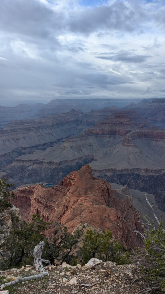
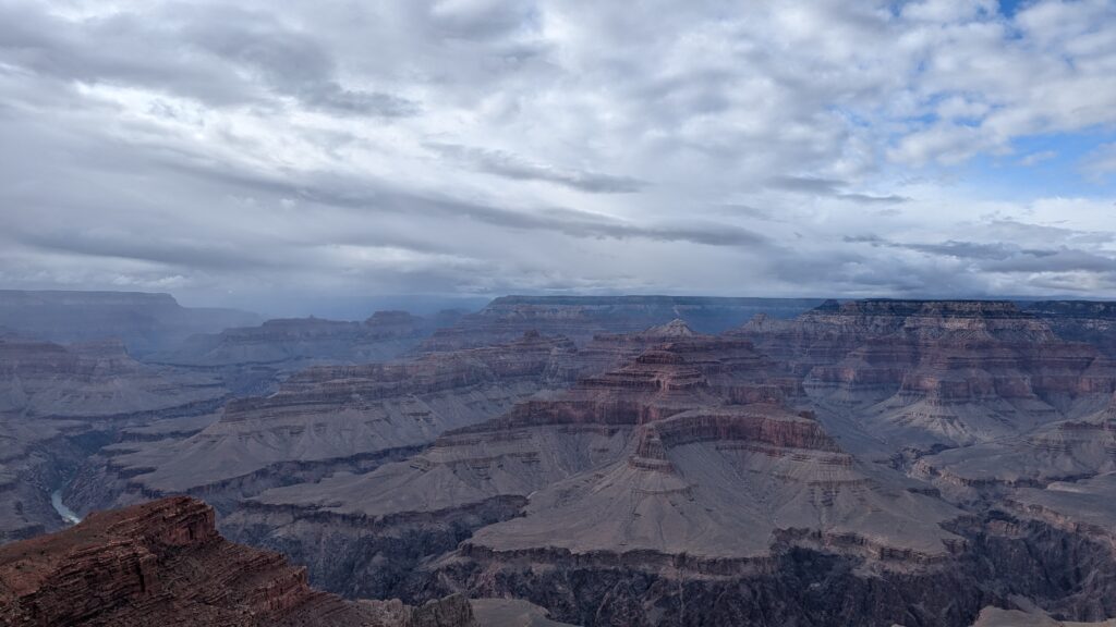
My take on the South Rim viewpoints: they’re all breathtaking, but some are more crowded than others. The further you get from the parking lots and facilities, the more you have them to yourself.
After the hike: Desert View Drive, heading east
That’s what I did on the afternoon of 6 May. Desert View Drive follows the canyon rim east for about 22 miles (35 km): you drive it and stop at the viewpoints one by one. The practical bonus: it takes you toward the park’s East Entrance, from where I drove on to Flagstaff for the night, about 1.5 hours from the East Entrance to Flagstaff.
The viewpoints, in order from the Visitor Center:
- Shoshone Point, with a short walk from the road
- Duck on a Rock Viewpoint
- Grandview Point
- Moran Point
- Lipan Point
- Desert View Watchtower, at the end of the road
My favorite: Lipan Point, which is quieter. Desert View Watchtower draws bigger crowds: you can go up inside the tower, and there’s a small grocery store with a snack counter right next to it (the Desert View Market & Deli). Handy for supplies, but for a peaceful view, choose Lipan Point.
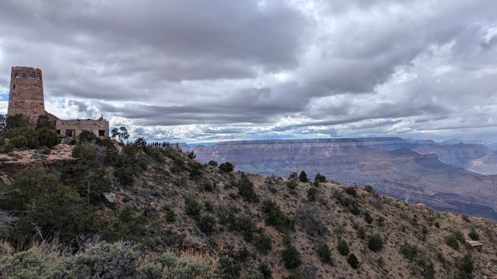
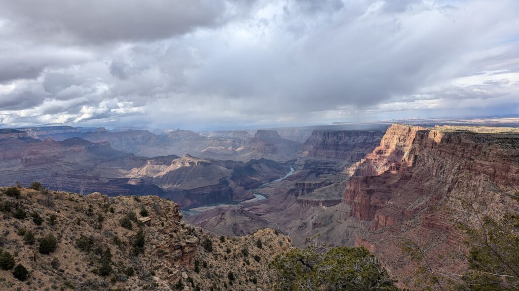
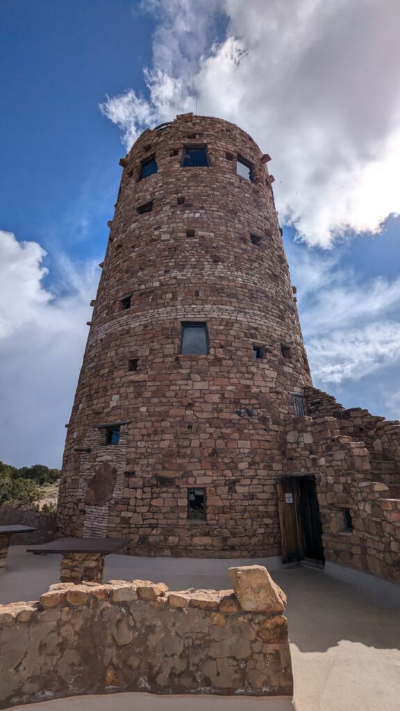
Desert View Watchtower
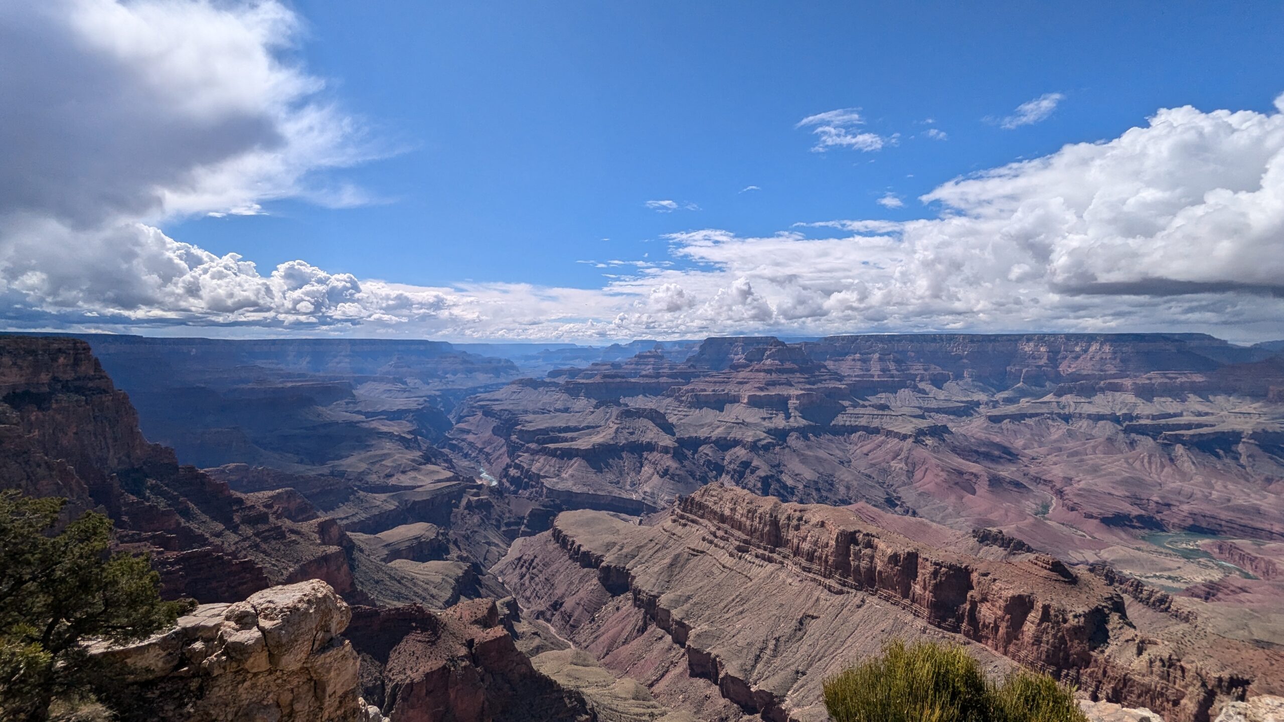
Lipan Point
The day before: Mather Point and Hermit Road
I left Las Vegas on the morning of 5 May and reached the park around 2 pm. My first look at the canyon was at Mather Point, right by the Visitor Center, then I headed west to Hermit Road (the full itinerary is in my 4-day road trip).
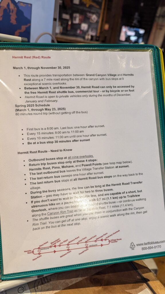
Hermit Road is closed to private vehicles from 1 March to 30 November: during that period, you explore it by shuttle (Red Route, Hermits Rest Route) or on foot and by bike along the Rim Trail. I mixed both: walking a stretch between two viewpoints, then catching the shuttle to the next one. It’s a lot of walking, but you enjoy the rim between stops. In fall 2026, the Red Route runs every 12 minutes from 8 am, and the full round trip takes 80 minutes without getting off. The viewpoints, in order:
- Maricopa Point
- Powell Point
- Hopi Point
- Mohave Point
- Great Mohave Wall Viewpoint
- The Abyss
- Monument Creek Vista
- Pima Point
- Hermits Rest, the end of the shuttle line and the start of the Hermit Trail
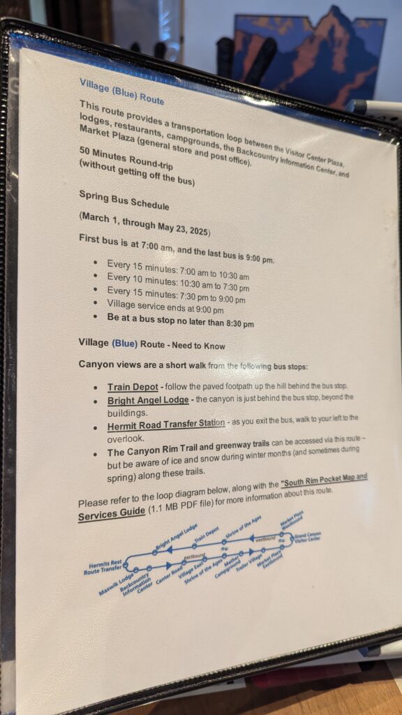
The further you go along Hermit Road, the fewer people there are. To reach the start of the Red Route from the Visitor Center, take the Blue Route (Village Route) to the Village.
Planning your day at the Grand Canyon
How much time do you need?
One day is enough for the hike to Skeleton Point in the morning and Desert View Drive in the afternoon. But looking back, my main advice is to allow more time at the Grand Canyon. The comfortable minimum: arrive the day before in the early afternoon for Mather Point and Hermit Road, sleep nearby, and keep the next day for the hike and Desert View Drive. That’s what I did, and if you can add an extra day, do it. Good news: your entrance pass is valid for 7 days.
Driving from Las Vegas
I borrowed a friend’s car: I left Las Vegas in the morning and was at the park around 2 pm (about 4.5 hours’ drive from Las Vegas). You don’t need a reservation to enter the park. In peak season (spring break, summer, holidays), the park recommends arriving at the entrance before 10 am or after 2 pm to avoid the lines.
If you don’t have a car, renting one lets you combine the South Rim, Sedona and the parks around Las Vegas at your own pace.
And if you have an extra day in Las Vegas, Valley of Fire is an easy day trip from the city: here’s my Valley of Fire one-day itinerary.
How much is the entrance fee?
Park fees (checked in October 2026), valid for 7 days:
- $35 per private vehicle, passengers included ($30 per motorcycle, $20 per person on foot or by bike)
- Visitors who aren’t US residents: since 1 January 2026, an extra $100 per person aged 16 and over is added to the entrance fee, unless you enter with an annual pass. It applies at 11 major parks, including the Grand Canyon, Zion, Bryce Canyon, Yosemite and Yellowstone.
- America the Beautiful annual pass: $80 for US residents (the one I had in 2025, as a Las Vegas resident), $250 for non-residents. The non-resident pass covers the whole car, including the $100 fee for each passenger, for 12 months.
- Cards only: the park doesn’t accept cash.
The math if you’re visiting from abroad: two people in a car pay $235 for the Grand Canyon alone ($35 + 2 × $100). With three adults, or as soon as you add a second park that charges the extra fee (Zion or Bryce Canyon, for example, on a road trip from Las Vegas), the $250 non-resident pass becomes the better deal.
Official Grand Canyon National Park fees page
Where to stay: inside the park, in Tusayan or in Williams?
To start the hike early, spend the night before as close to the park as you can. The closer you are, the more it costs: it’s a trade-off between budget and driving time.
- Inside the park, in Grand Canyon Village: hotels and lodges just past the entrance, as close as it gets to the trails, but at much higher prices. For RVs, there’s also Trailer Village RV Park, inside the park as well.
- On the road between Williams and the park: several small communities have hotels and campgrounds, in Red Lake, Valle and, closest of all, Tusayan, about 6.7 miles (10.8 km) from the Visitor Center. In summer, a free park shuttle (Purple Route) connects Tusayan to the Visitor Center. I didn’t stay there.
- Williams, my choice: a bit more driving in the morning, but much cheaper. I stayed at the Howard Johnson by Wyndham, $48 (€42) a night in May 2025 (about 1 hour’s drive).
After the hike, if you’re heading on to Sedona, stay in Flagstaff: I spent two nights at the West Inn NAU, downtown, for $129 (€115) for both nights in May 2025, booked through Booking.com. I chose Flagstaff over Sedona because it’s very close and Sedona hotels are a bit more expensive. For the day itself, I’ve put everything in my guide to Sedona in one day.
In short
The South Kaibab Trail to Skeleton Point is the best way to go from the rim into the canyon itself in a single morning, while keeping the afternoon for the viewpoints. Start early, take the shuttle, carry all your water, and turn around wherever your legs tell you: Ooh Aah Point, Cedar Ridge or Skeleton Point.
And if you’re carrying on, the Grand Canyon pairs perfectly with Sedona, and even with a whole loop from Las Vegas: