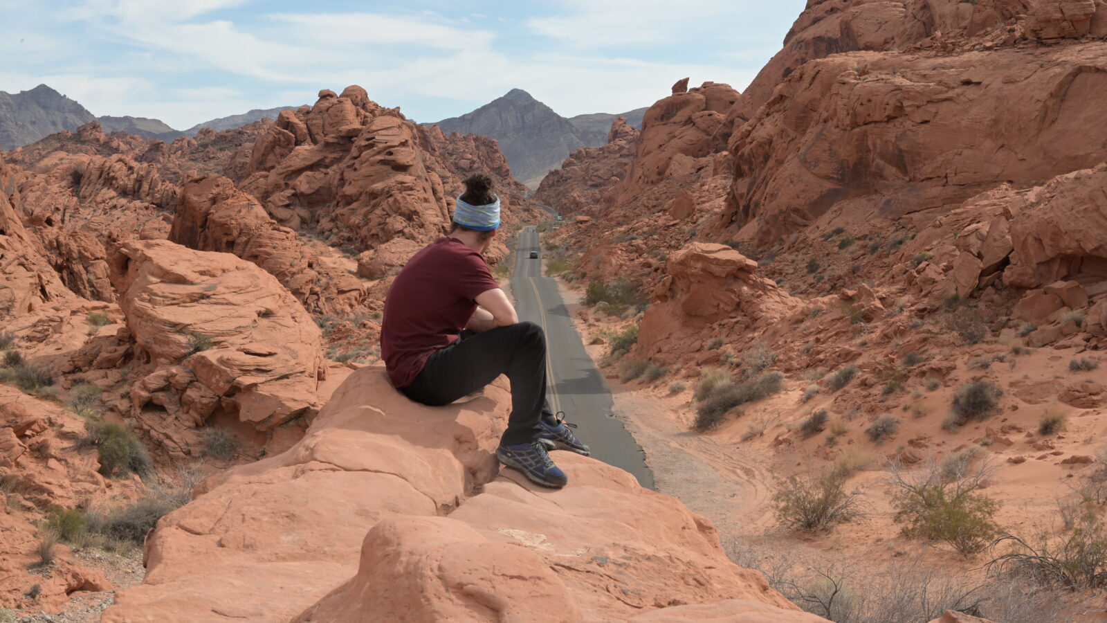
A road running dead straight between bright red cliffs, sandstone domes striped pink and yellow, a wave of rock streaked like candy: just an hour from Las Vegas, Valley of Fire looks like another planet. And one afternoon is enough to see the highlights. I visited solo on 28 March 2025, driving from Las Vegas, where I was living at the time. Here’s my actual itinerary, hour by hour: a 2.6-mile (4.2 km) loop from White Domes to the Fire Wave, then Rainbow Vista and the stops along Mouse’s Tank Road, with what you need to know about the entrance fee, the heat and supplies.
A state park: the America the Beautiful pass isn’t accepted
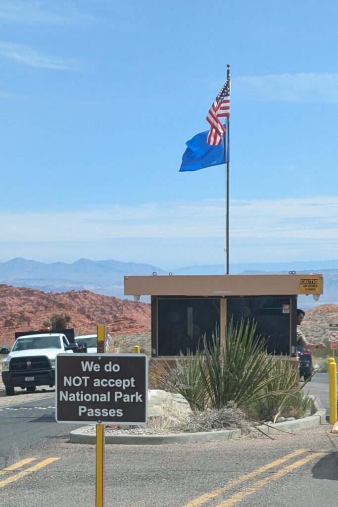
Valley of Fire is a Nevada state park, not a national park. The annual national parks pass (America the Beautiful) isn’t valid here, and a sign just before the entrance booth says so in no uncertain terms. Plan to pay the entrance fee on the spot, even if you already have the pass for the Grand Canyon or Death Valley.
At a glance
FROM LAS VEGAS
About 1 hour’s drive to the West Entrance, by car only
TIME IN THE PARK
One afternoon for the highlights (for me, from noon to about 5 pm)
THE WHITE DOMES TO FIRE WAVE LOOP
2.6 miles (4.2 km), about 2 hours with breaks and photos
ENTRANCE FEES
$10 per Nevada-registered vehicle, $15 for all others; national park passes not accepted
HOURS
Open daily, sunrise to sunset
WATER AND FOOD
No store inside the park, bring everything
WHEN TO GO
October to mid-May; from 15 May to 30 September, the White Domes to Fire Wave loop is closed because of the heat
FINDING YOUR WAY
Download the park’s trail map and an offline map before you go
How much time do you need at Valley of Fire?
One afternoon is enough for the highlights: the big loop at the far end of the park, Rainbow Vista and the stops along the road. That’s what I did, without rushing. If you want to see everything, including the sites near the entrances (Elephant Rock, Atlatl Rock, the Beehives), plan a full day.
My timings on 28 March 2025, taken from my photos:
| Time | Stop |
|---|---|
| 12pm | Arrival at Parking Lot 3, at the end of the road |
| 12pm-2pm | White Domes to Fire Wave loop (2.6 mi / 4.2 km) |
| 2:30pm | Rainbow Vista Trail, all the way to the end |
| 3:30pm | Photo stop on the long straight of Mouse’s Tank Road |
| 4:30pm | Petroglyph Canyon Trail |
My planning tip: when you arrive, drive straight to the end of the road, then make your stops on the way back. The scenic road through the heart of the park (Mouse’s Tank Road, which becomes White Domes Road) is a dead end: you’ll drive it both ways anyway. Starting with the furthest point means you do the longest walk first and keep the short stops for later in the day.
How to get from Las Vegas to Valley of Fire
Valley of Fire is northeast of Las Vegas. From the city, take I-15 north, then the Valley of Fire Highway to the park’s West Entrance: about 1 hour’s drive. It’s the most logical entrance coming from Las Vegas. I came in and left that way.
You need a car: the sites are spread over several miles of road. If you don’t have a car, renting one leaves you free to set your own schedule and lets you combine the trip with Red Rock Canyon or Death Valley on other days.
Without a car, there are guided tours from Las Vegas. I haven’t taken one: check carefully what’s included (time in the park, which trails) so you don’t spend the day looking at the park through a window.
Valley of Fire entrance fee: is the America the Beautiful pass accepted?
You pay per vehicle at the entrance booth: $10 for a Nevada-registered vehicle, $15 for all others (fees as of October 2026).
The annual national parks pass (America the Beautiful) isn’t accepted: Valley of Fire is a state park, run by Nevada, not by the National Park Service. The sign at the entrance leaves no doubt.
If you’re heading on to the Grand Canyon, the pass is still worth considering there, especially since the extra fee for visitors who aren’t US residents was introduced at the major national parks: I explain the math in my South Kaibab Trail guide.
South Kaibab Trail to Skeleton Point
Valley of Fire State Park (Nevada State Parks)
The White Domes to Fire Wave loop (2.6 miles)
This is the heart of the visit, and the part I recommend most: in just over 2.5 miles, you pass through two slot canyons (very narrow canyons carved into the sandstone), pastel hills and the famous Fire Wave. In late March, it wasn’t very crowded.
The numbers: 2.6 miles (4.2 km) according to my GPS track, about 1 hour 10 minutes of walking according to my hiking app, and about 2 hours for me with breaks and photos (from noon to 2 pm).
The start: park at Parking Lot 3, near the end of White Domes Road, at the Fire Wave trailhead.
An important point: several trails cross in this area, and the signs aren’t always enough to tell which one you’re on. I didn’t follow one specific official trail: I linked sections together. Be careful with the maps posted in the park too: the one I photographed at the start of Mouse’s Tank Trail doesn’t show every trail. The Fire Wave Trail isn’t on it, and neither is the link between White Domes and the Fire Wave. The park map on the official website does show them: download it before you go, along with an offline map on your phone, and stay on marked trails.
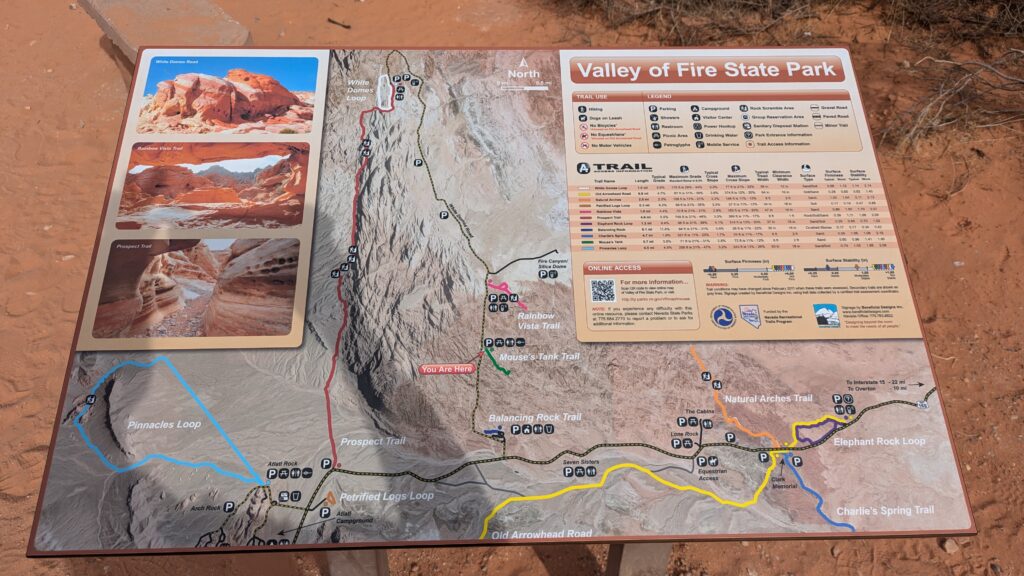
Valley of Fire trail map (Nevada State Parks)
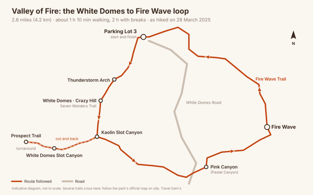
Here are the stops, in the order I did them.
Thunderstorm Arch, White Domes and Crazy Hill (Seven Wonders Trail)
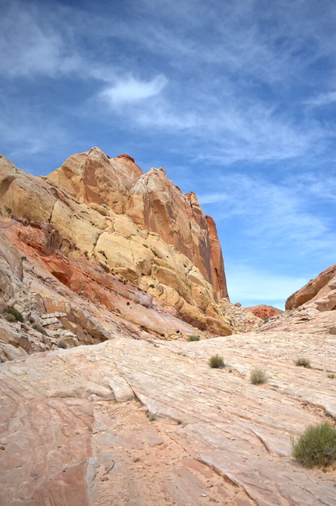
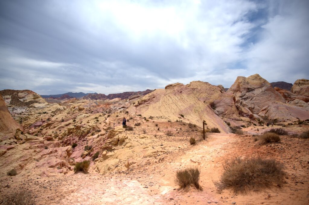
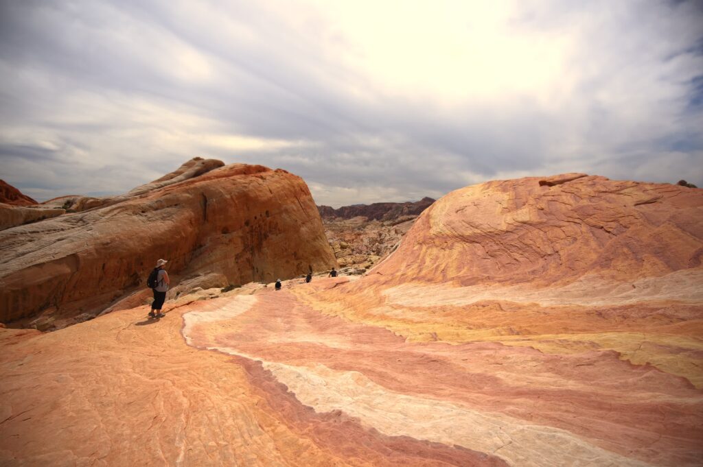
From the parking lot, the trail heads south. You pass Thunderstorm Arch, then enter the White Domes area: rounded sandstone domes in cream, yellow and pink, very different from the bright red of the rest of the park. The loop then crosses Crazy Hill, on the Seven Wonders Trail: you walk right on top of a rippled slab of sandstone, striped with bands of pink, white and yellow, with the view opening up across the rest of the park.
Kaolin Slot Canyon and White Domes Slot Canyon
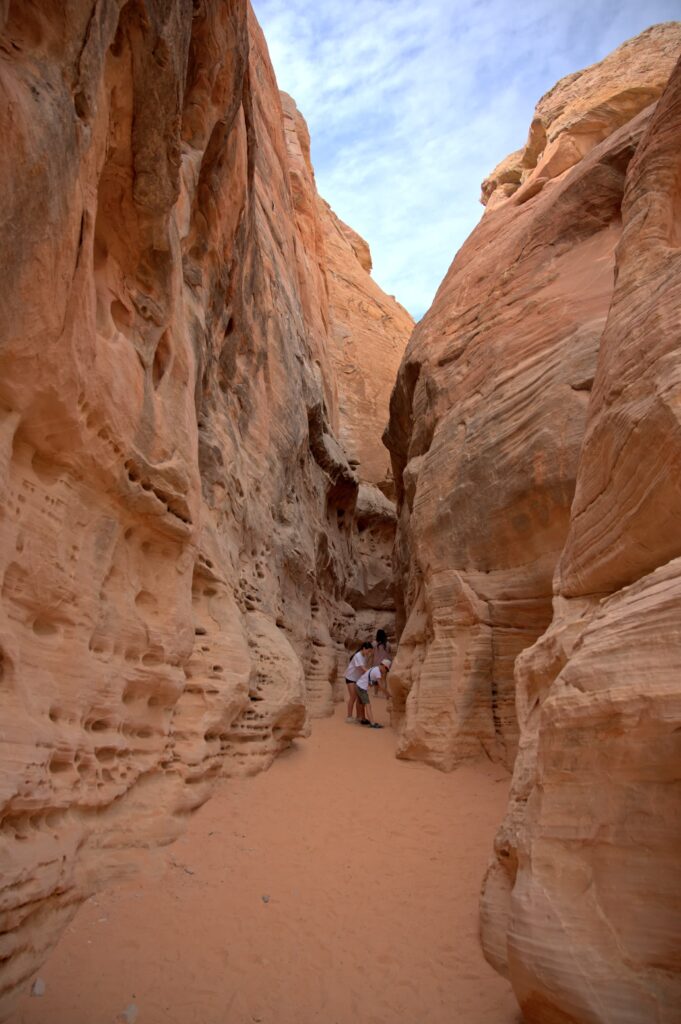
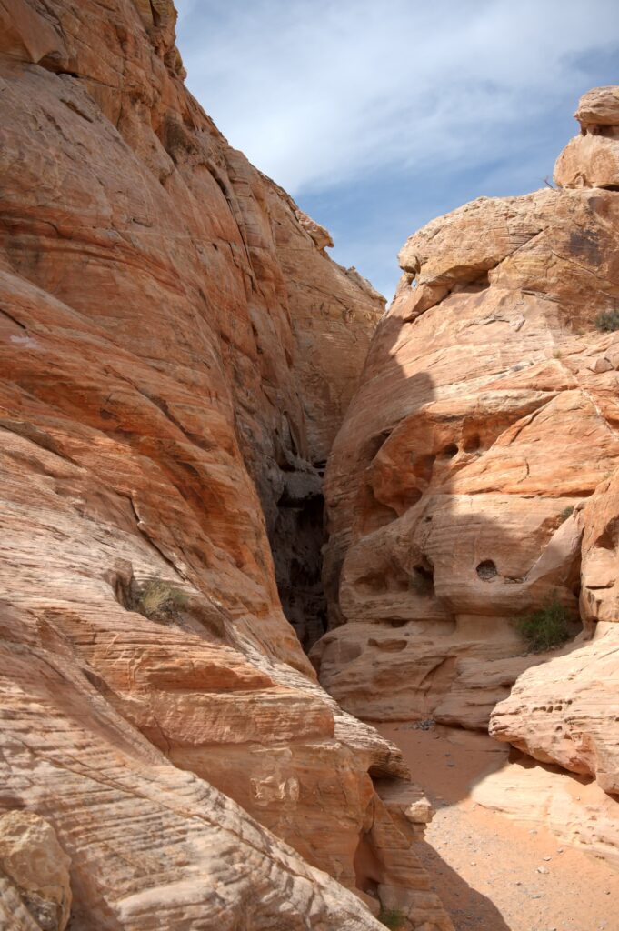
Two slot canyons follow each other, about 100 yards (100 m) apart: Kaolin Slot Canyon (also called Kaolin Wash) and White Domes Slot Canyon. Honestly, once you’re there, it’s hard to tell which one you’re in: the names are similar, the trails cross, and they’re equally good. Don’t worry about it, just enjoy the walk through.
Along with the Fire Wave, this is the most spectacular part of the loop: you walk on sand between sculpted walls, pitted with small holes, that close in above you. I followed White Domes Slot Canyon to the junction with the Prospect Trail, then turned back.
Pink Canyon (Pastel Canyon)
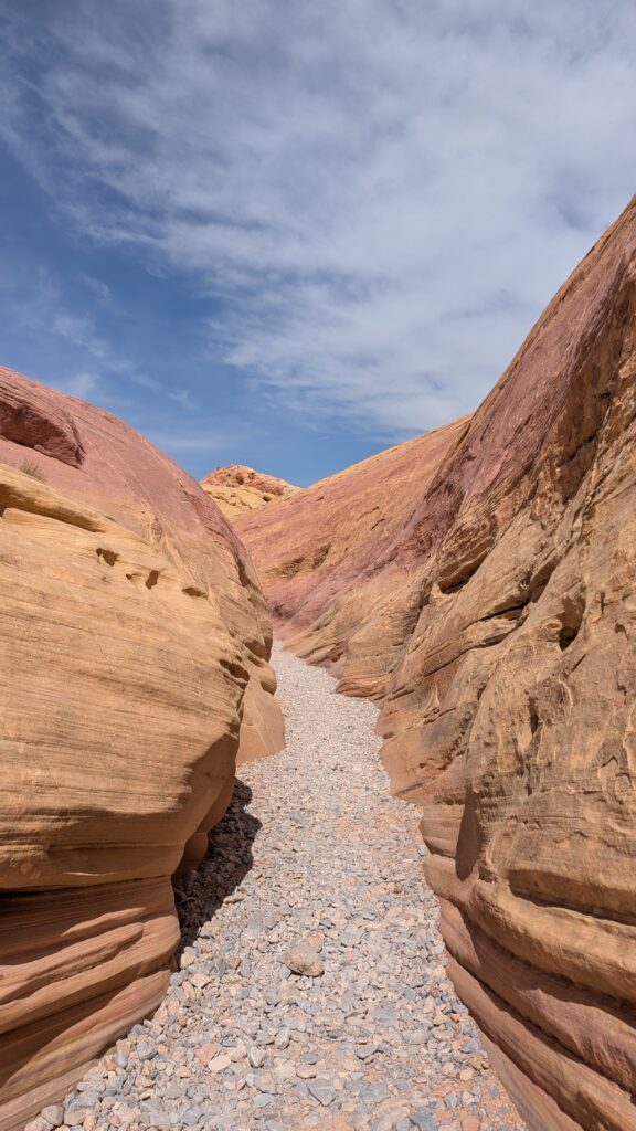
After the slot canyons, the loop drops down a dry wash, crosses White Domes Road, then goes through Pink Canyon, also known as Pastel Canyon. As the name suggests, the rock takes on shades of pink here.
The Fire Wave
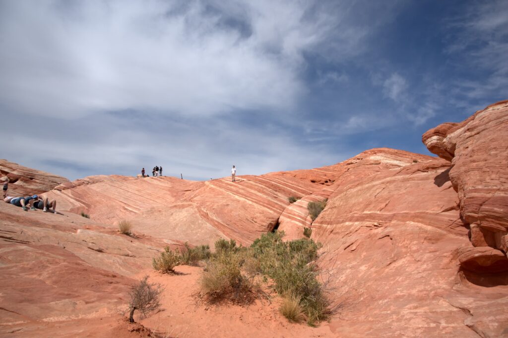
Then comes the Fire Wave, the star of the park: a big wave of sandstone striped red, pink and white, that you can walk on. It’s the park’s most famous sight, and you earn it: it’s the last big stop on the loop.
Back along the Fire Wave Trail
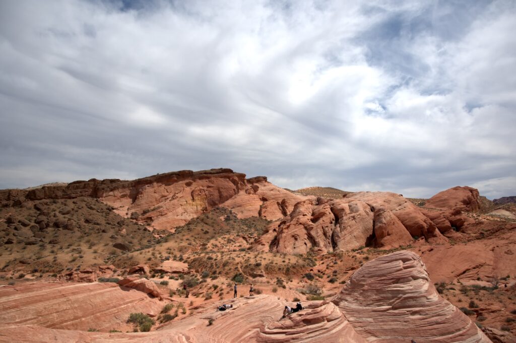
From the Fire Wave, the Fire Wave Trail heads north back to Parking Lot 3, through more open country, between red rocks and pale sand.
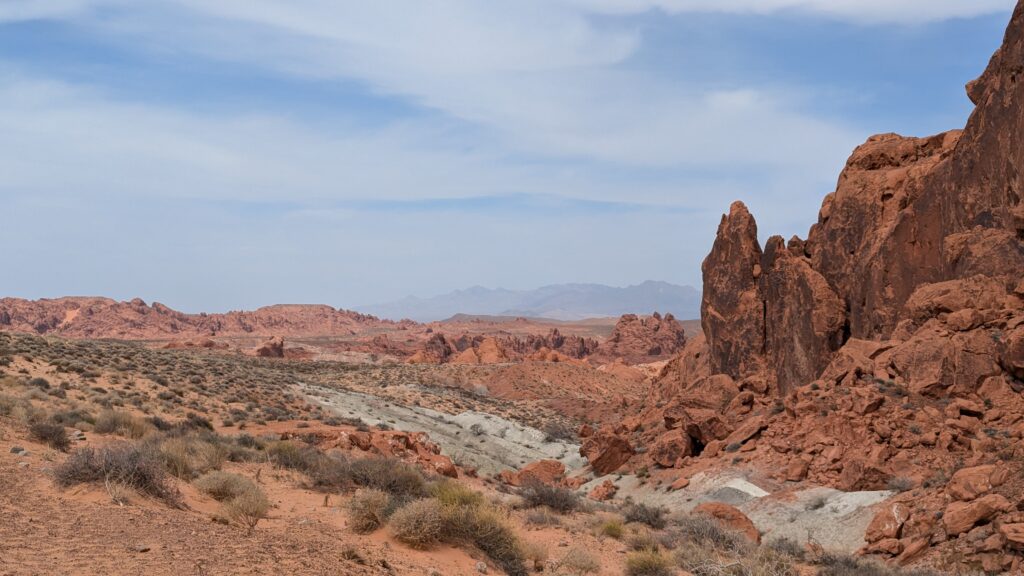
An alternative: you can also do the loop the other way round, starting with the Fire Wave and finishing with the slot canyons. I haven’t tried it in that direction, but it’s an option if you’d rather see the Fire Wave first.
Rainbow Vista Trail: go all the way to the end
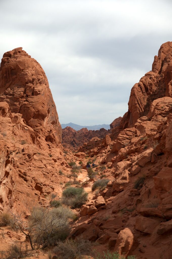
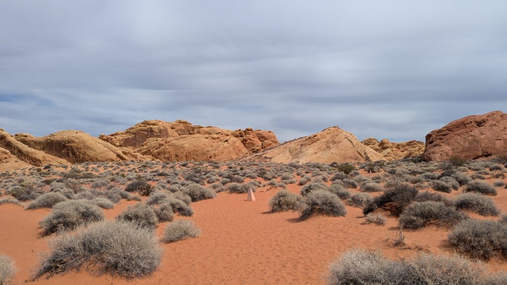
On your way back down Mouse’s Tank Road, stop at Rainbow Vista. Don’t settle for the parking lot: the trail winds between red rocks and crosses orange sand to a viewpoint over a sea of rock as far as the eye can see. For me, it’s far more worth the detour than Petroglyph Canyon, further down the road. The park lists the trail at 1 mile (1.6 km).
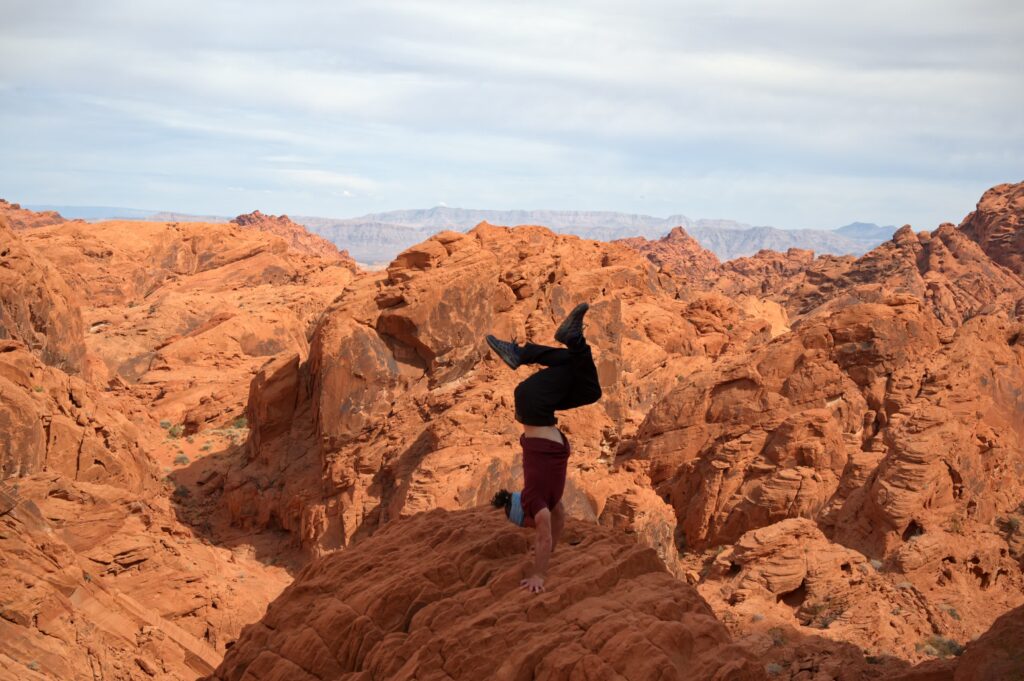
I got there around 2:30 pm. At the end of the trail, the view stretches across a jumble of red rocks all the way to the mountains on the horizon. Take a little time to sit down and enjoy it: it’s the trail’s reward.
Mouse’s Tank Road and its long straight
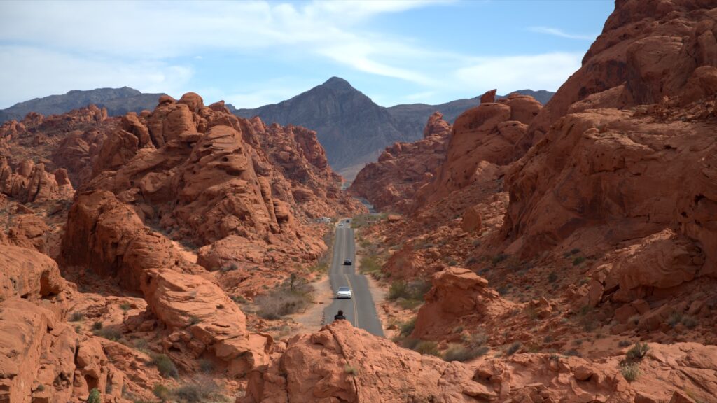
Even without walking, the road through the heart of the park is already stunning by car. The most photogenic stretch: a long straight running between red cliffs, with mountains in the distance. I stopped there around 3:30 pm, just long enough to climb onto a rock by the road and see it from above (that’s the photo at the top of this article).
Park well off the road, and watch out for cars when you cross.
Further down, at the start of Mouse’s Tank Road, Balancing Rock, a rock perched in balance, takes just a quick stop. Nice but nothing special: worth a look if you’re passing, not worth planning time for.
Petroglyph Canyon Trail (Mouse’s Tank Trail): what to expect
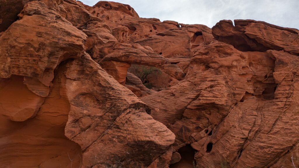
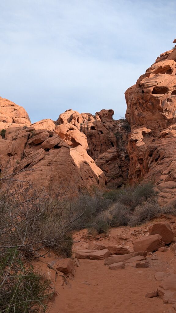
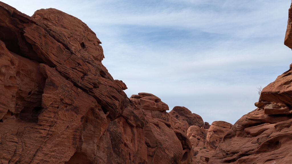
My last stop of the day, around 4:30 pm: the Petroglyph Canyon Trail, which the park sign calls Mouse’s Tank Trail. The sandy trail follows a pretty little canyon to a dead end. Along the way, the rocks take on surprising shapes: a small arch, and a rock that looks like a bird’s skull.
To be honest, I didn’t spot any petroglyphs, and there’s no real viewpoint at the end. The canyon is pleasant, but Rainbow Vista made a much bigger impression on me. If you’re short on time, this is the stop I’d skip first. If you have time, do it for the walk, and keep an eye on the rock walls. A side trail branches off the main one, also a dead end: it’s quieter, and that’s where I took my break.
Can you just drive through Valley of Fire?
Yes, and even without walking, it’s worth the trip: the road up into the heart of the park, Mouse’s Tank Road and then White Domes Road, is spectacular in itself. Just allow for driving it both ways, since it ends in a dead end at the far side of the White Domes area.
The park is also crossed from west to east by the Valley of Fire Highway. Several sites are near the entrances, which I didn’t visit for lack of time: Elephant Rock, a rock shaped like an elephant near the East Entrance, Atlatl Rock, known for its petroglyphs, and the Beehives, beehive-shaped rock formations. So I can’t give you my take on them: they’re options if you have a full day. I didn’t stop at the Visitor Center either.
Best time to visit Valley of Fire: seasons, heat and closures
Late March was perfect: about 73°F (23°C) recorded in Las Vegas that day, under a hazy sky. The landscape is very arid, but it was much less hot than Death Valley, which I’d visited a week earlier.
In summer, the heat becomes a real danger: for the safety of visitors, staff and local rescue services, the park closes many of its trails every year from 15 May to 30 September. They include White Domes Loop, the Fire Wave, Seven Wonders Loop and Pastel Canyon (Pink Canyon), the Prospect Trail, as well as Pinnacles Loop, Arrowhead Trail, Natural Arch Trail (except Arch Rock) and Charlie’s Spring. In other words, the whole loop in this guide is closed in summer. Rainbow Vista and Petroglyph Canyon aren’t on that list: if you come during that period, those are the stops left, to do first thing in the morning.
To hike the loop, come between October and mid-May.
Even in spring and fall, bring sun protection: a hat or cap, sunglasses and sunscreen.
Water, supplies and phone signal: what to plan for
- No store inside the park: fill up with gas and bring water and food before leaving Las Vegas.
- Plenty of water: even in spring, the air is very dry, and the loop is 2.6 miles long.
- Maps, before you go: download the park’s trail map and an offline map with the loop track. I couldn’t find any official information on phone signal in the park: better not to count on it.
- Hours: the park is open daily, from sunrise to sunset. Leave yourself a margin to drive out before it closes.
Where to stay to visit Valley of Fire
The easiest option is to stay in Las Vegas and do the round trip in a day: 1 hour’s drive is all it takes. I was living there, so I didn’t try any hotel for this visit.
Valley of Fire, Red Rock or Death Valley?
Three classic day trips from Las Vegas, three different moods. Valley of Fire means red desert, slot canyons and striped rock, with weather that’s still bearable in spring. Death Valley means vast emptiness and crushing heat, even in March. Red Rock Canyon is the closest to the city. I’ll compare all three, with my tips as a former resident, in an upcoming guide.
In short
A day at Valley of Fire is first and foremost the 2.6-mile loop from White Domes to the Fire Wave, then Rainbow Vista and the long straight of Mouse’s Tank Road on the way back. Drive to the far end of the park when you arrive, bring all your water, and keep your national parks pass for the Grand Canyon: it’s no use here.
And if you’re heading on to the Grand Canyon and Sedona:
South Kaibab Trail to Skeleton Point: A Grand Canyon South Rim Day Hike